P12 and P4 trip to the Woods for Orienteering

We have had a fantastic day in the woods as part of our Maths Week Scotland learning. We walked the whole way to the woods, set up our base camp, had some healthy snack and a good explore before getting into our groups. We then had to follow our map to find all the teachers hiding at different points. After collecting all four signatures it was time to head back to base for some lunch and then a trip to the distillery to use the toilets! It was back to base camp for our final mapping activity – a scavenger hunt to collect items to work out our treat…. Thank you to all our grown ups for our yummy lunches and giving us cosy clothes to wear!

Endeavour Review by Matthew


Endeavour is a long term project that you get to choose what we do and we have to complete a project and I done comics for my endeavour I found it hard because I was not the best at drawing but now I would say I am decent at drawing now that I have been practising.

I found thinking of the comics hard because I couldn’t think imaginatively easily and now that I think about it it seems easy now when I don’t think about it and I also I found drawing the comics hard because I was not that good at drawing but now I am quite good at it now. I think this was quite out of my comfort zone. I also learned how to use a photo copier. Mrs Clark helped me by letting me use an online comic generator


Our Orienteering Day

IMG_0878
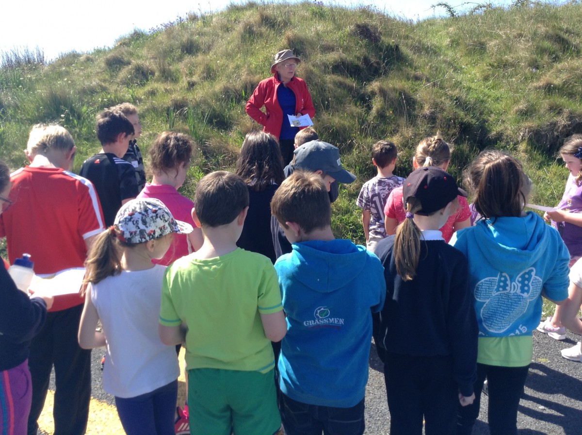
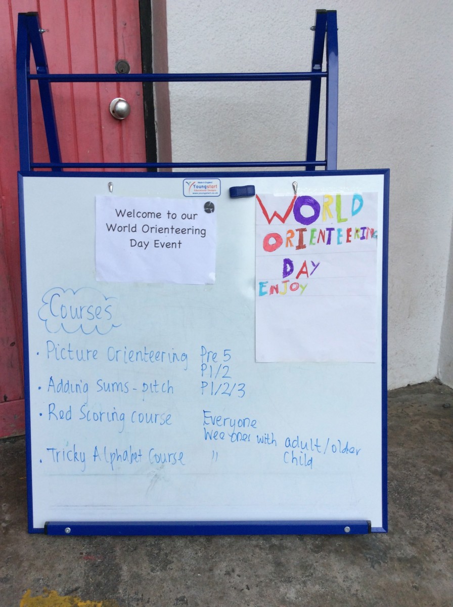
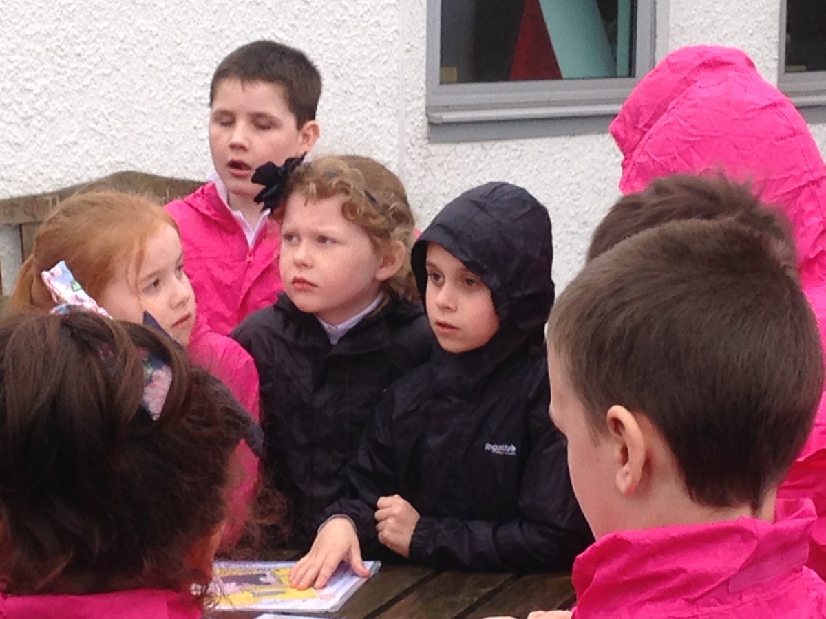
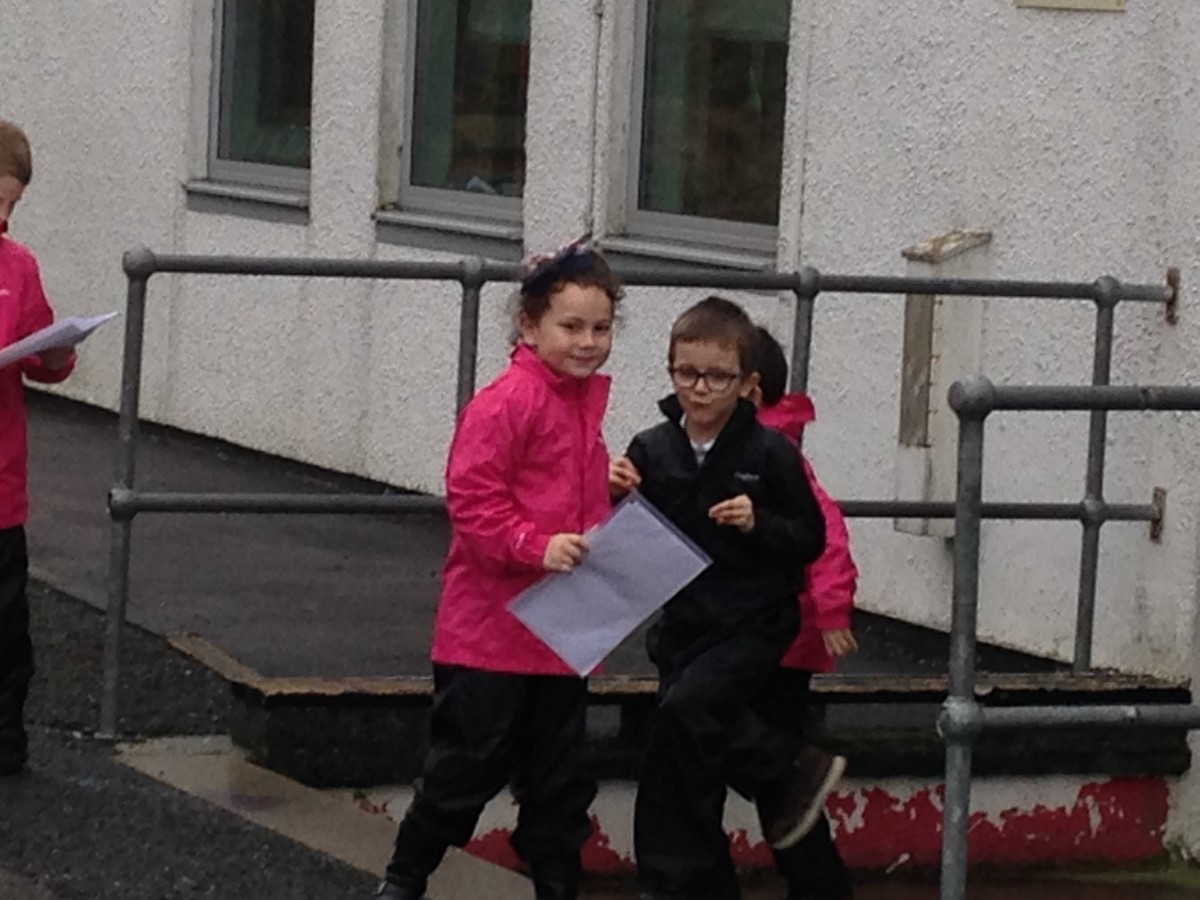
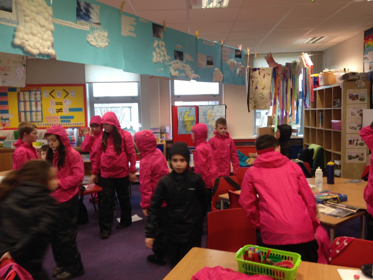
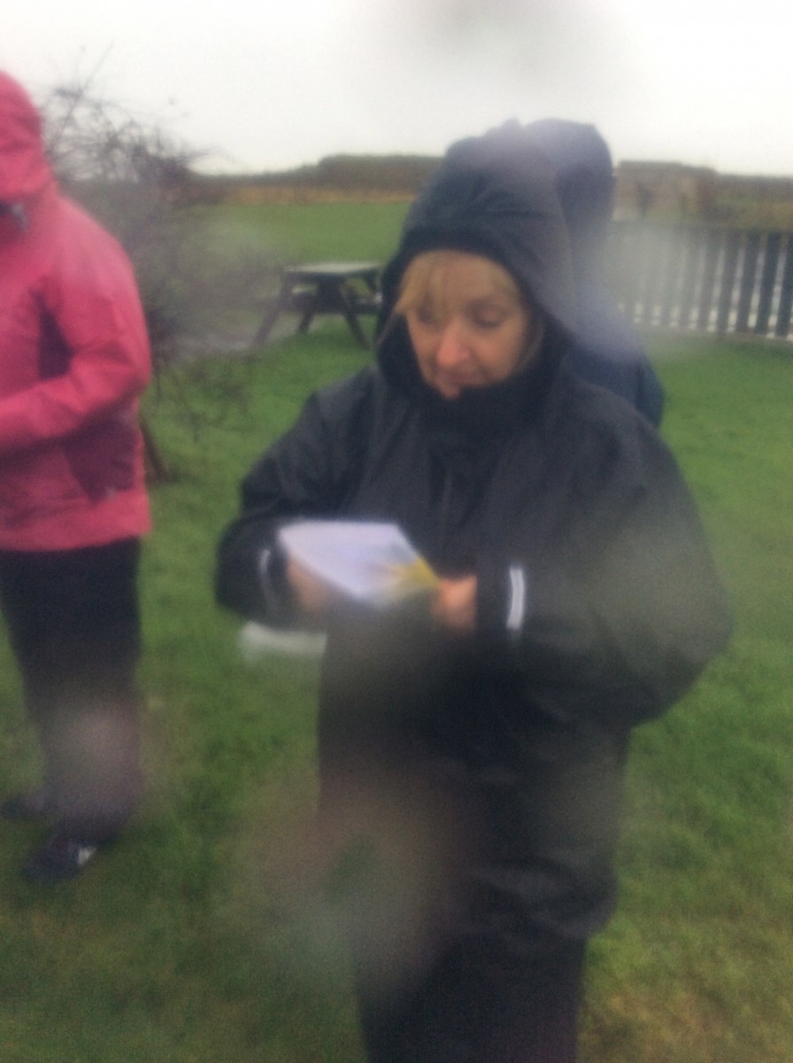
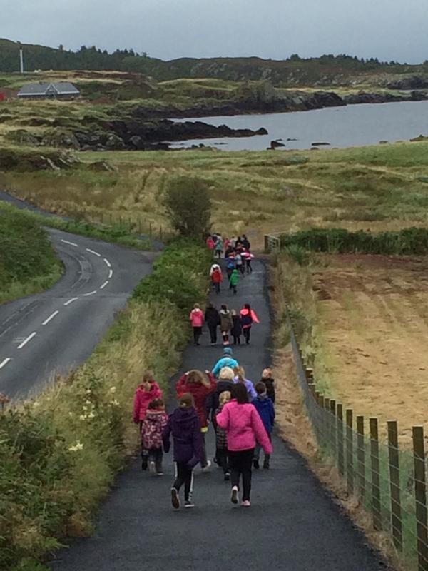
On Wednesday 1st June our school invited Port Charlotte and Bowmore Primary School to come do Orienteering with us. We all went to the hall were we got sorted into four different groups blue, purple, orange and green. We were all mixed up so there was some Port Ellen Pupils, Bowmore Pupils and Port Charlotte Pupils in each group. After that each group was sent with a teacher. Every teacher had their own orienteering stage. We also had Lynn Walker from Scottish Orienteering to hep  us and we also had Rona Young, a P.E teacher that helped us. The courses we had were Make your own course, How to use a map / tour around our playground, a maze and a course with different stages. Everyone had lots of fun.


IMG_0410

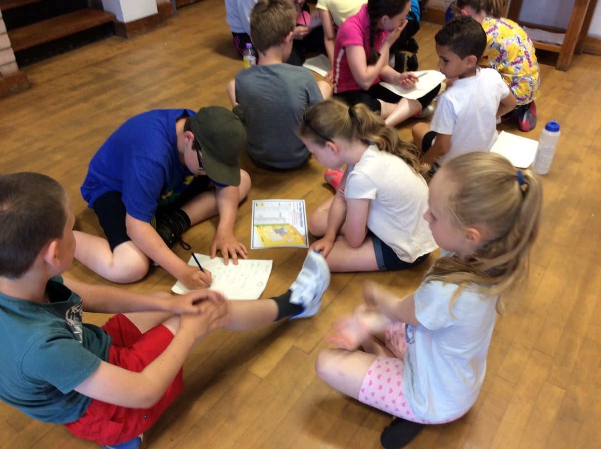
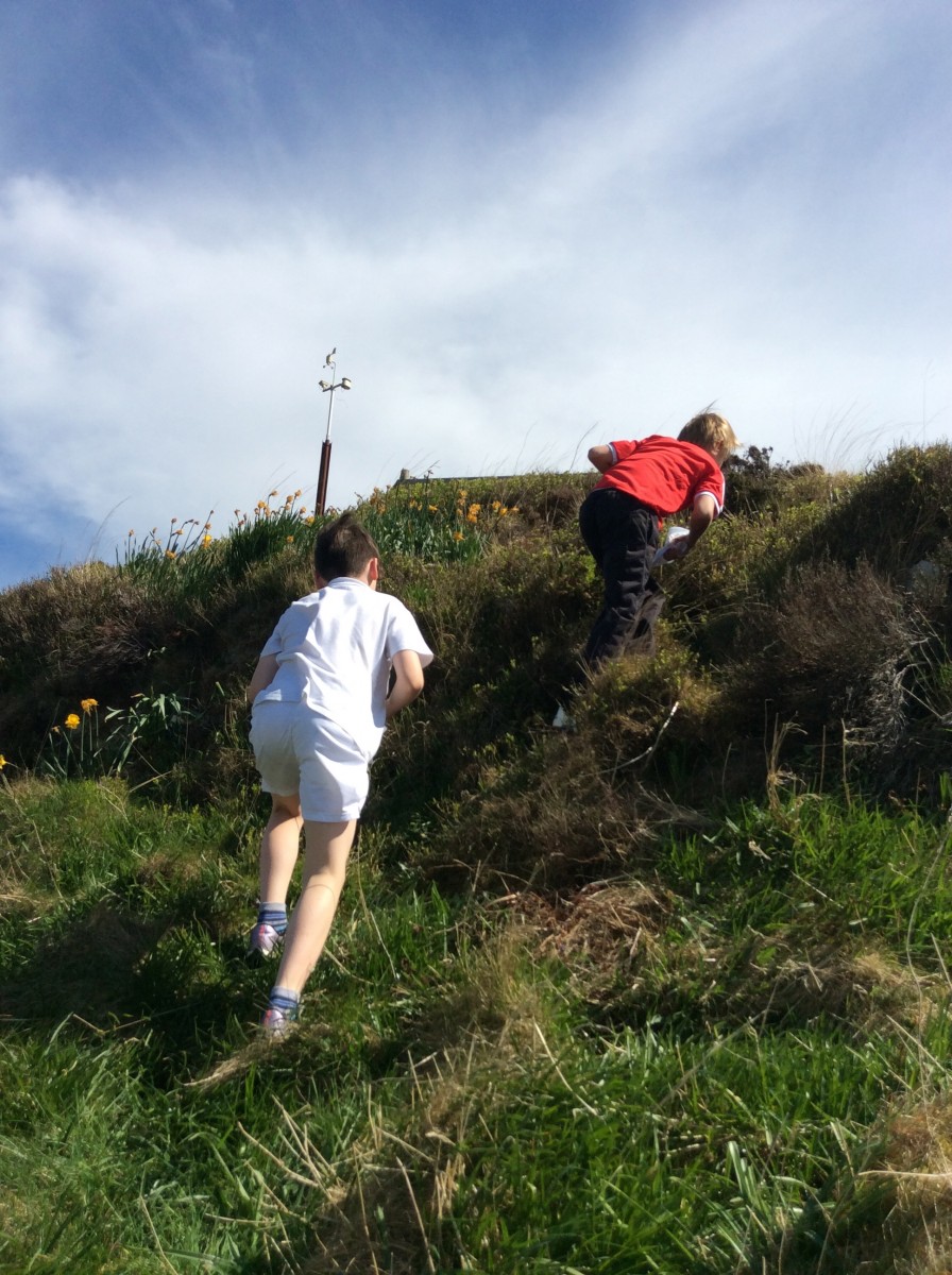
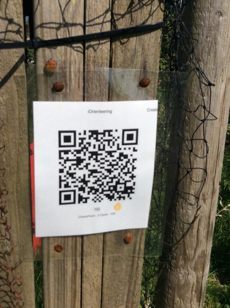
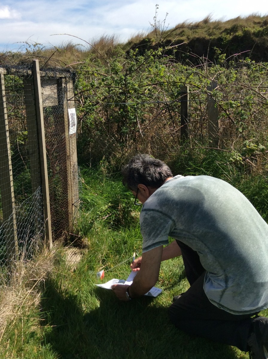
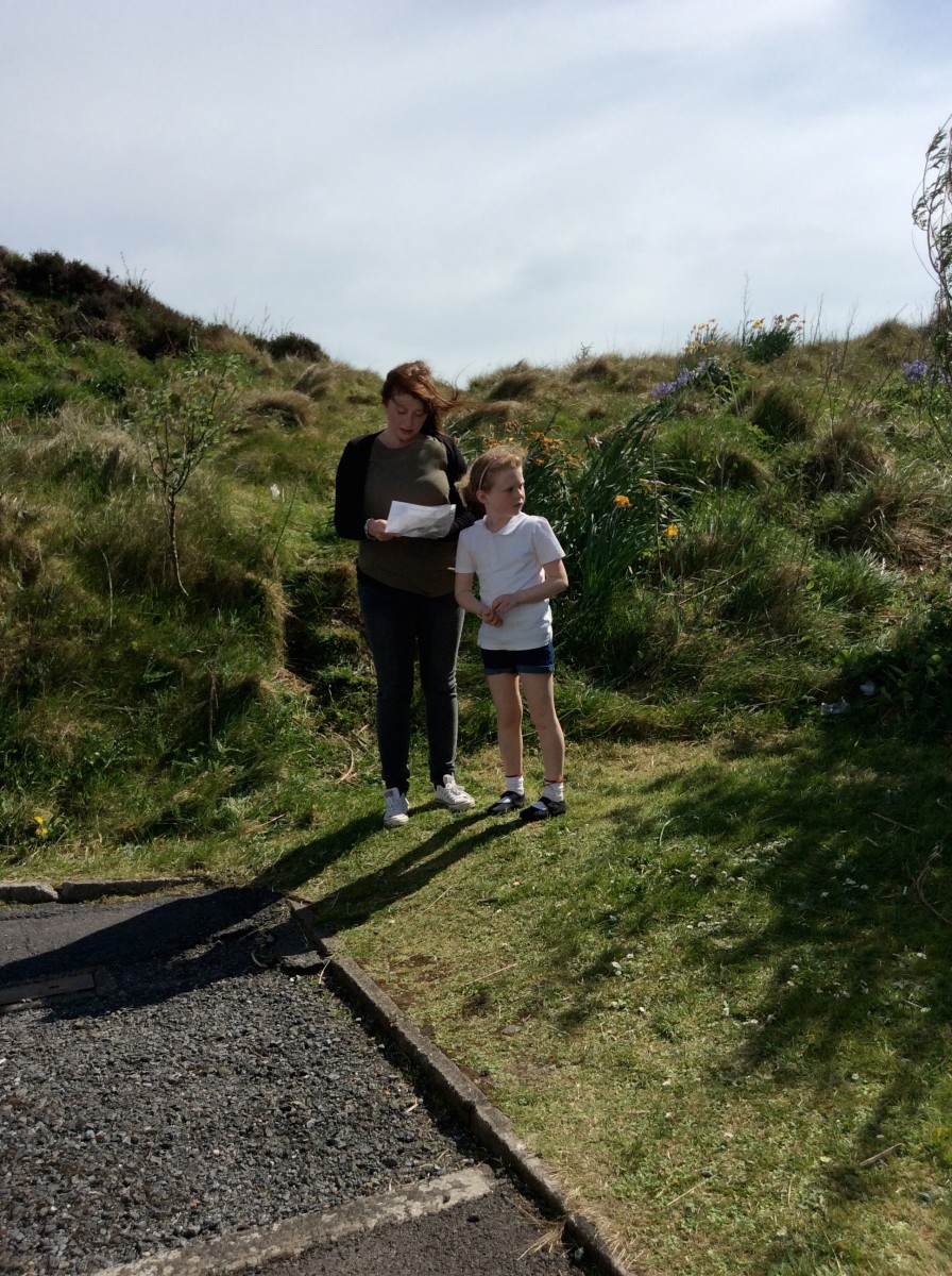
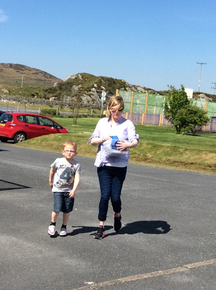
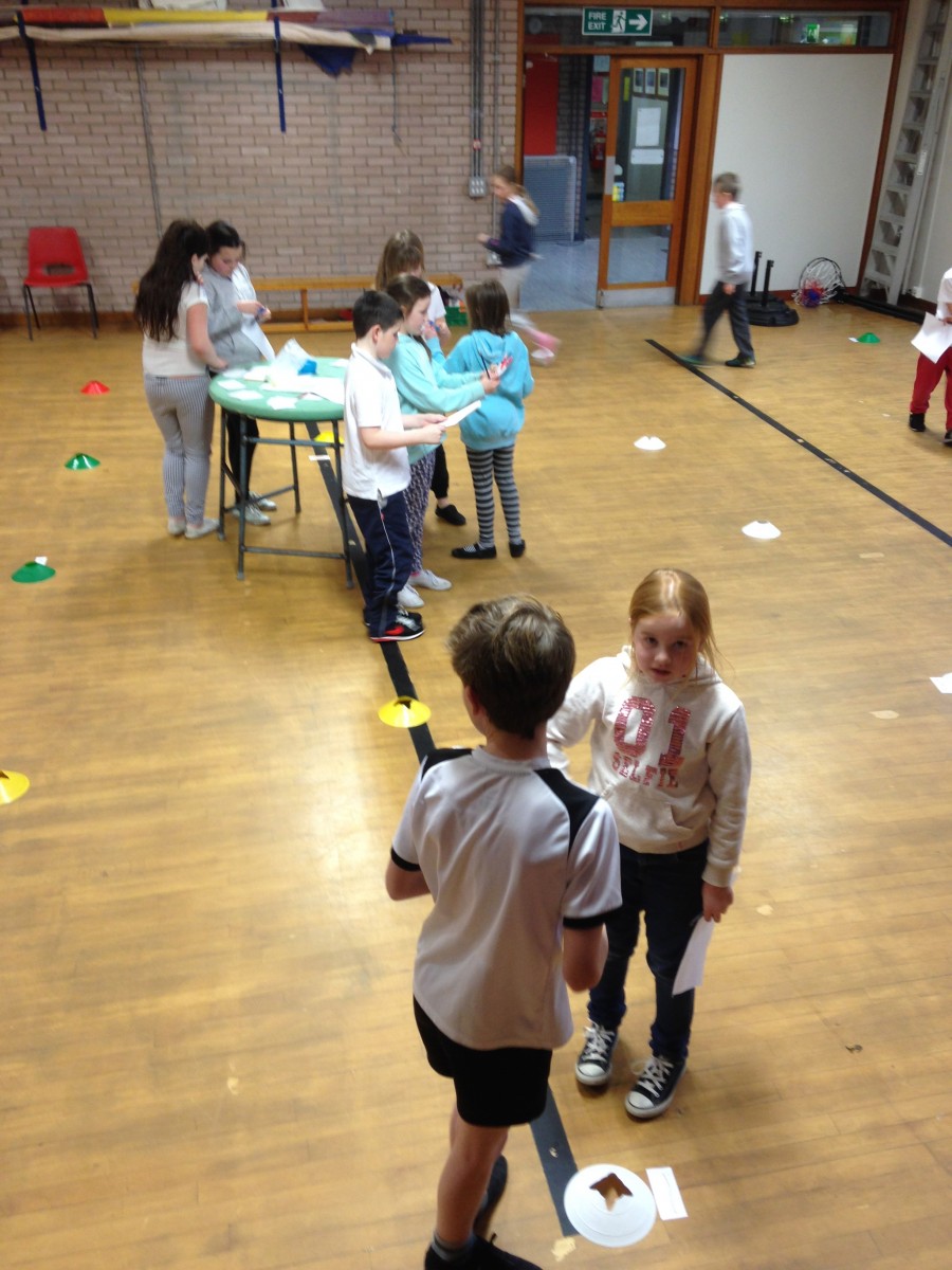
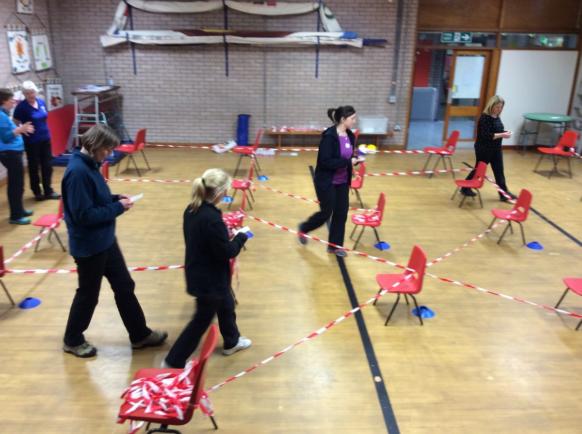
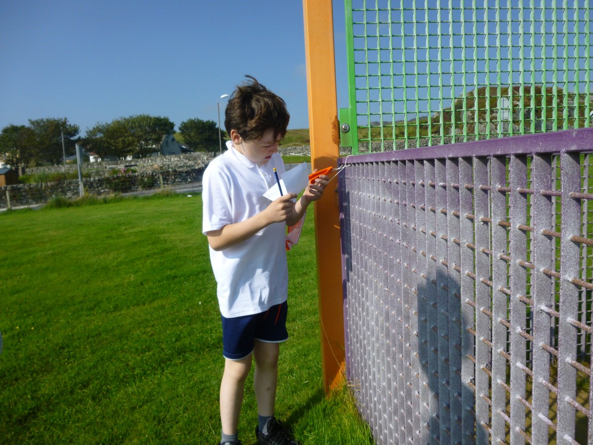
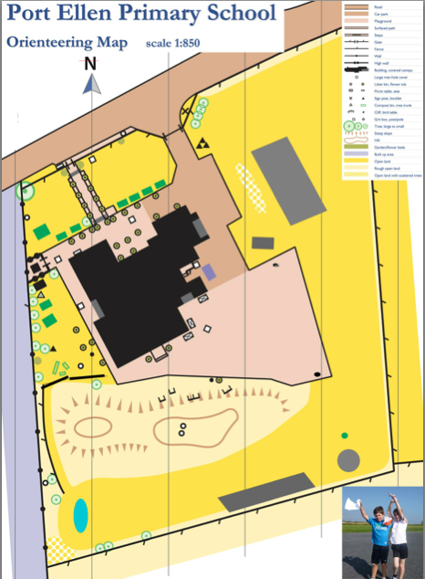
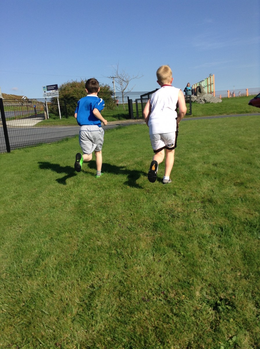
Then today everyone was split into their Port Ellen school houses (Nave,Texa and Orsay) and then we were split again into teams of 3,4 or 5 and we were each given a map and an electronic dibber (which we also used in the maze). One person in each team would go to one of the tags located on the map, log it using the electronic dibber, and then when they came back to the team they would pass the map and dibber to the next runner.   They had to do odd and even numbers in turn and the big ones helped the wee ones to find the points.  At the end we all gathered in the hall and we were told which house won the competition. Texa was third, Orsay was second and Nave was first. Everyone had lots of fun and everyone gave it their best shot.


World Orienteering Day

IMG_0458 IMG_0475 IMG_0499 IMG_0501 IMG_0528 IMG_0544 IMG_0555

We had a fantastic afternoon on Wednesday 11th May, World Orienteering Day.  There were courses available at all levels, from picture courses for nursery children, adding up sums courses for infants right up to tricky courses for our P5-7 orienteering experts. It was great to have such a good turn out of parents, who were very game taking part. Parents also had an opportunity to try out our i-orienteering course using our new ipads and it gave them a taster of what we hope to develop further around the village.

Orienteering Bingo

The Orienteering club are trying out lots of different variations on orienteering themes – the latest was orienteering bingo.  The ten markers had different, random numbers on them and the children had bingo cards instead of the standard scoring cards, only punching their card if they had a number that matched the number on the marker.  Luck and skill combined.  Some of the runners were getting frustrated climbing to the top of the hill to find out that the number didn’t match.  Bronagh was still the champ with a grand total score of 27!!

What I Achieved Through The Holidays

oysterflyThrough the holiday I managed to achieve 2 walks up to Lagavulin with my mum and my dog both times , we didn’t meet anyone and 2 trips to the Singing Sands. The first time I went to the Singing Sands it was just me, my mum and my dog but the second time I went it was me, my mum, Emily, Eva, Charlet-Rose, Patricia, Eva’s Auntie Katie and Chloe. Eva’s mum and auntie brought their dogs as well and luckily there were no goats to chase!


I also managed to find a website called “plot a route.’’ It is where lots of people share different places to walk, cycle, run and many more activities. Its a great website:)

Orienteering Club

On Monday afternoons after school ends Mrs Harrison takes orienteering club from 3:30pm to 4:30pm. It is for classes 4-7 it is a great way for the children to get fit and more healthy. We either do 3 courses or 1 course.  At the last club we did 3 courses, 2 timed ones and one just for fun.

The timed course had 3 different levels, Bronze, Silver and Gold. There were 10 numbers in all the courses you had to get as many numbers done in the fastest time you could. There was a tie for 1st place between Ruaraidh Macdonald and Bronagh Newman. In orienteering club we start 20 seconds after the  person in front so when you finish you take off your starting time. Today is the last orienteering class before the holiday.

We have all enjoyed it!


A Little Update On My Endeavour

The past few weeks I have been visiting quite a lot of places. So far I have been up to Ardtalla, Claggan Bay, Ardnave Point and many more, I have also been a couple of places on horse back. Me and my mum have taken the camera every place we go, which means I have been sticking and writing, sticking and writing in my Explorers Log!

I am also planning on making a little collage of photos on the laptop and will add some information of the places I have been.

So far my favourite place has been Ardnave because there is a beautiful lake, lots of sheep and when I was there what two beautiful swans were gliding across the lake.

We had to obey the countryside code and close all gates which you MUST keep shut unless you want chasing after you!!


My New Endeavour Project

Hi my name is Natalie and I am doing an Endeavour project, and I thought I would share it with the world. Endeavour is an independent project where you choose your own project and learn about it for eight months and in June we have a big fair and share our learning with friends and family. For my Endeavour I chose “Walks Around Islay.” I chose this project because there are ALOT of places on Islay I have never been, and I would like to find out some information/ history about Islay. So every so often I will share some information and history about place I have been on Islay.

The people that are able to help me are my family,  Walk Islay and mainly people that would like to go for a walk or another place that they have been before or a new place.

I planed my project with my mum and we had a wee chat about something she would be able to help me with and we could go places together in the holidays.

At the end of my project I will have an Explorers Book, A Collage of photos and maybe a book of information.

To Sum Up What We Have Achieved

Port Ellen Primary School P5/6/7 has been learning how to Orienteer. To sum up what they have achieved is quite remarkable.What they have been doing in oreeinteering this year such as making some course challenges, made a map of the school grounds, Google Maps course around Port Ellen, and they made a course round Islay on a map and put QR codes round the school .

The School got a grant of 2,000 so the school thought it would be a good idea to buy water proofs and other outdoor achievement for orienteering and other outside activates with the school. They have recently done a Google Maps course round Port Ellen with videos and pod casts.

I know they have been very successful in there orienteering topic and we hope they can continue this topic.

Pontoons-Checkpoint Green E

If you are at this checkpoint you will be able to see the ferry, the Port Ellen Lighthouse and the lookout hut.  The pontoons are for people to keep their boats at when visiting Port Ellen.  There is an information board showing where the free spaces are for mooring your boat.  One of the things we like to do at the pontoons is crabbing.  Here is a video explaining how to do it.


Compass Points

circ-360newsx

We have been learning about compass points because it helps us with our orienteering because you need to know your compass points to get to the markers. Here are all the compass points are north represented by an N then there is north-east represented by an NE after that there is east represented by an E then there is south east represented by a SE then there is then there south represented by an S and that is half the circle. Then on the other half of the circle, there is south west represented by SW then there is west represented W then there is north-west is represented by NW then is north again. There is a degree for each compass point which helps you to know if you’re facing the right way. When you change the degrees  to north to east or to east to south you add 45 degrees on because each turn you do you add 45 degrees. North is either 360 or 0 and north-east is 45 degrees. East is 90 because 45 add 45 is 90 degrees. South east is 125 degrees. South is 180 degrees. South west is 225. West is 270 degrees and north west is 315. Then back to north which is 0 degrees.

P1010224

Bearings

The bearing of a point is the angle measured from the north line. Bearings help you find your destination so if you are new town bearings can help you around the place.

bearThis diagram shows compass points and the bearings plus the angles of a compass.  You can see the bearing of A from B is 065° and from B from A is 245°.


triangle

This is a triangle that is labelled a to b b to c and c to a.

A to B = South West

B to C = South East

C to A = North West

hex

This is a hexagon labelled a b c d e f: A to B =south west

B to C= South C to D = South East  D to E = North East E to F= North F to A =North West

By Ruaraidh and Rowan at Port Ellen Primary School


Maps, Grid References And Coordinates

There are 2 lines that are on all maps and they are called the vertical and the horizontal lines. They are always in a straight line and they either go up and down or across the way. Grid references are between the lines which make it look like a maths square that has numbers. The difference between grid references and coordinates is that coordinates are where the lines meet and grid references are in between the lines. We are learning about grid references in school and we already know six figure grid references and four figure references. Every ordnance survey map in the world has a six figure grid references and a four figure grid references for every place. We also learnt about coordinates. We played battleships to help understand grid references. We know you say the horizontal line first and the vertical line after. The horizontal line is the X axis at the bottom and the vertical line is the Y axis.

We found a map of the school and we thought it would be a good map to use for orienteering because the one we have is old and things aren’t in the same place anymore. Then we realised we didn’t have some things on the new map so we went outside and measured the things that weren’t there by how wide they are, how long they are and how far away from some things like the school and the fences area. After that we measured them to scale and put them on our map. Now we use the map to make up orienteering courses. This is the map we use and we use it to do orienteering in school.

omap


The Mile Walk And Run

walk p34P5/6/7 wanted to do a mile walk or a mile run to improve our fitness. But first we had to calculate and measure how long a mile is. We had to use Google maps to see how much it takes for a mile from up the path and back. We were going to go up the path but we did not want to go 2 miles so we used Google maps to see how it is a IMG_0587mile from somewhere on the path and back. Our class found out that it stopped at a wee bay right beside a stone wall. We thought if we go around the school a lot of times we could measure the school and see how many time it would take to do a mile. For the run we had to time each other to see if we improve each week. For the run we had to run around the edges 4 times. We know that running around the school 4 times because we measured it on the app called Map My Walk.


Report a Glow concern
Cookie policy  Privacy policy

Glow Blogs uses cookies to enhance your experience on our service. By using this service or closing this message you consent to our use of those cookies. Please read our Cookie Policy.