There are 2 lines that are on all maps and they are called the vertical and the horizontal lines. They are always in a straight line and they either go up and down or across the way. Grid references are between the lines which make it look like a maths square that has numbers. The difference between grid references and coordinates is that coordinates are where the lines meet and grid references are in between the lines. We are learning about grid references in school and we already know six figure grid references and four figure references. Every ordnance survey map in the world has a six figure grid references and a four figure grid references for every place. We also learnt about coordinates. We played battleships to help understand grid references. We know you say the horizontal line first and the vertical line after. The horizontal line is the X axis at the bottom and the vertical line is the Y axis.
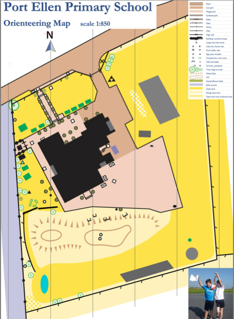
We found a map of the school and we thought it would be a good map to use for orienteering because the one we have is old and things aren’t in the same place anymore. Then we realised we didn’t have some things on the new map so we went outside and measured the things that weren’t there by how wide they are, how long they are and how far away from some things like the school and the fences area. After that we measured them to scale and put them on our map. Now we use the map to make up orienteering courses. This is the map we use and we use it to do orienteering in school.


