Views of North Berwick & Vicinity (3)
October 20, 2015 by User deactivated | 0 comments
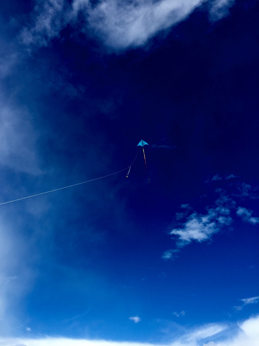
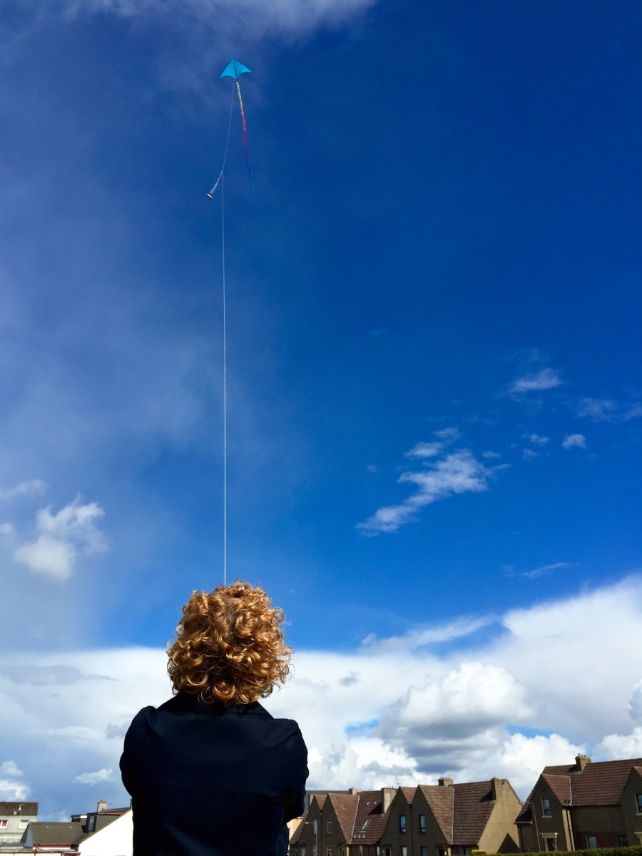
Here’s the final update on the partnership work with Mrs. Dalgleish’s wonderful Primary 5 class, at Law Primary School in East Lothian. After bated breath, the wind got up enough strength allowing us to complete our exploration of aerial photography. The sun shone, we went outdoors & finally flew the kite aerial photography kit. See how we fared by browsing through the gallery below.
-

- Yes, we did it:)
-

- Law Primary School
-

- Preparing for lift off
-

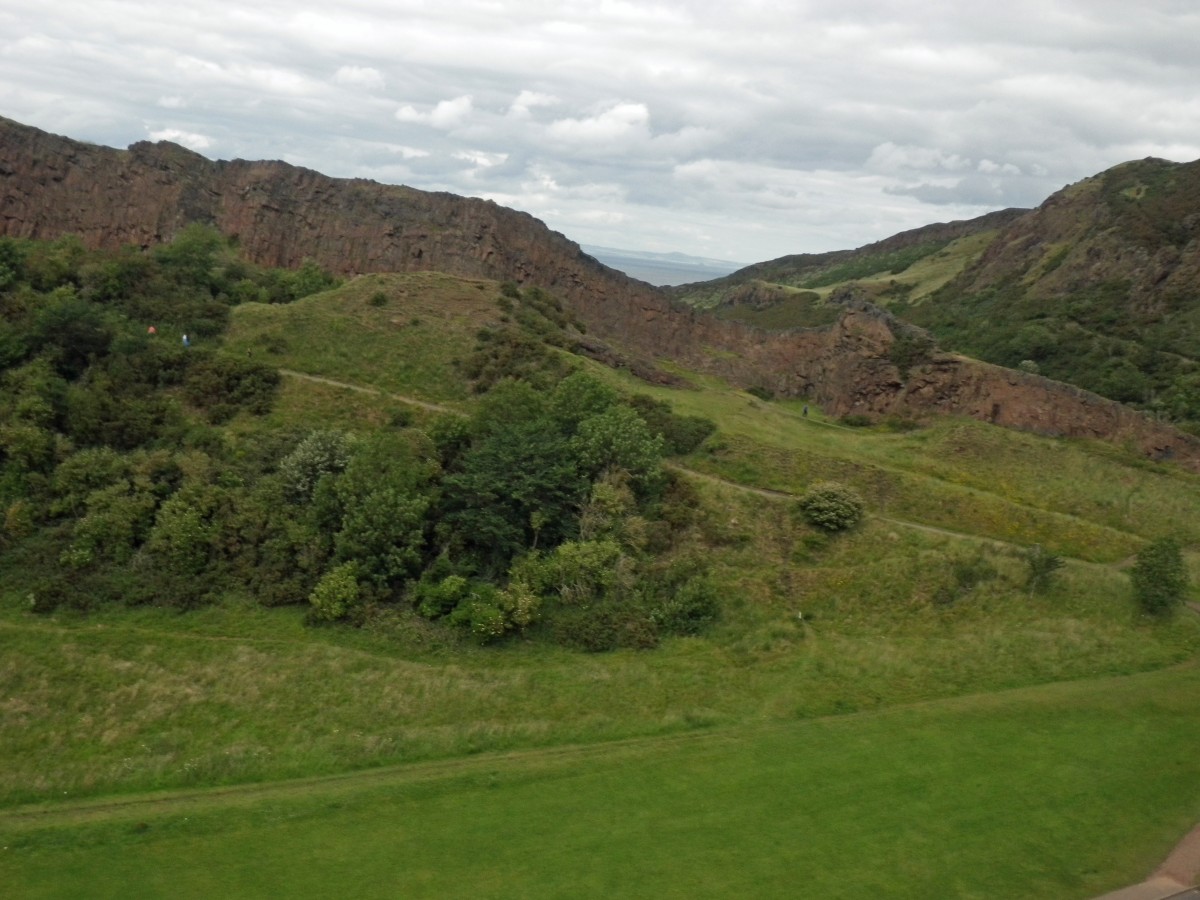
- Looking across to the Bass Rock
-

- Primary 5
-

- Look!
-

- Up, up & away!
-

- The school before extension 2015
-

- Aerial photography in action
-

- Exploring local aerial photography on Scran
-

- Online Research
-

- My house, in 1974
-

- Mapping Archives to Aerials
-

- Sharing our findings
-

- The Exhibition
-

- Looking for visual clues
-

- Creative Writing
-

- “Shoarmonger”
-

- Biopoems
During an InSET session yesterday Law Primary School staff had a presentation detailing the full project. It was agreed that the class had achieved their learning intentions & much more besides.
- I will be able to use Scran confidently to research a topic
- I will have a better understanding of aerial photography
- I will help to curate & create an exhibition
You can download the attached CfE learning experiences & outcomes for the project.
Before signing off, we’d like to say a big Scran thank you to Mrs.Dalgleish and everybody in P5 who made this such a success!
Imagery © Portrait of John Marr, East Lothian Museums Service / Various Aerial Images RCAHMS – Licensor www.scran.ac.uk
This gallery contains 0 photos