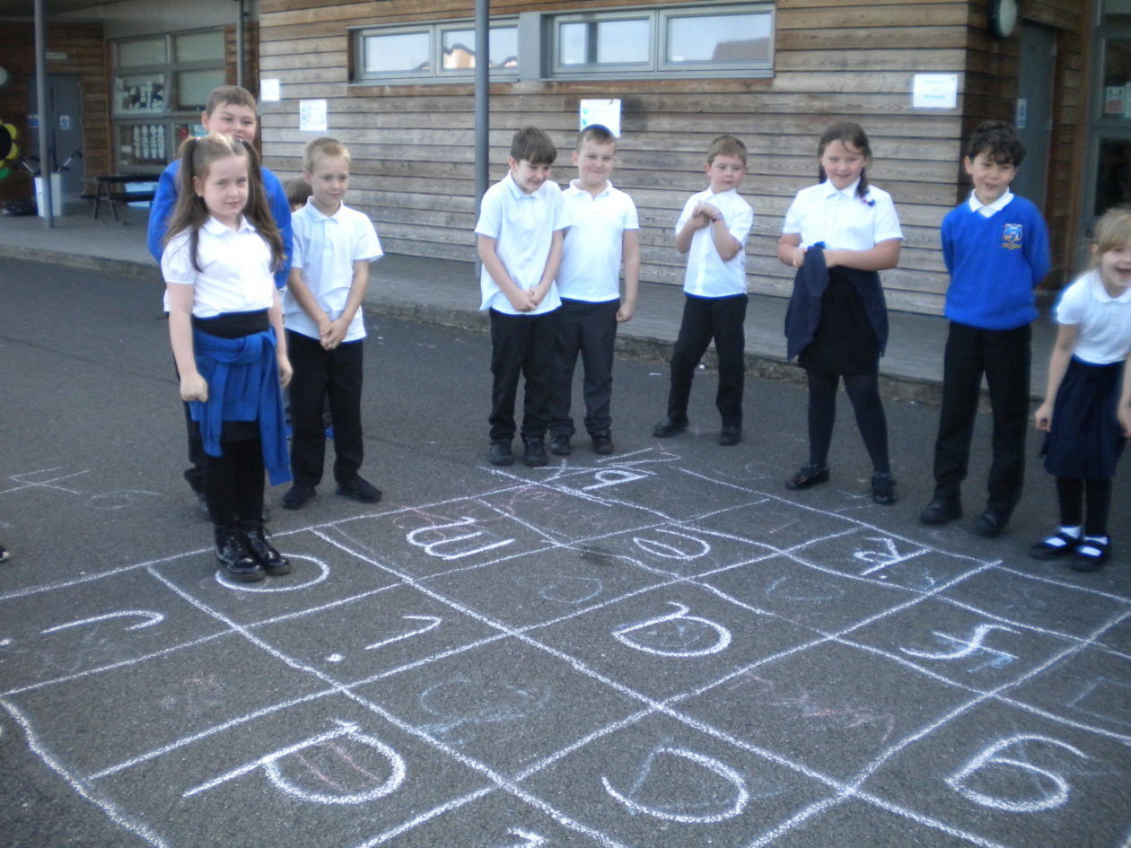
As part of our Local Community IDL topic we have been exploring mapping and grid references. We used Google maps to find out about the local area and highlighted how land has been used on a map of the local area. Today we went outside to work on shape, position and movement. We used positional language to give and follow instructions about how to move to a specific place on the grid.

Pumpherston and Uphall Station CPS Blog
A place for news, information and sharing learning from PUSCPS