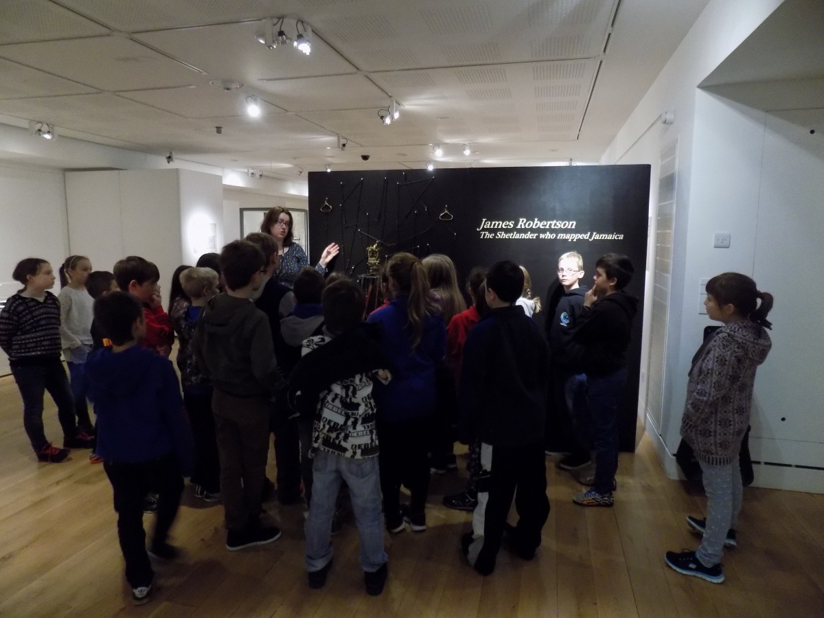
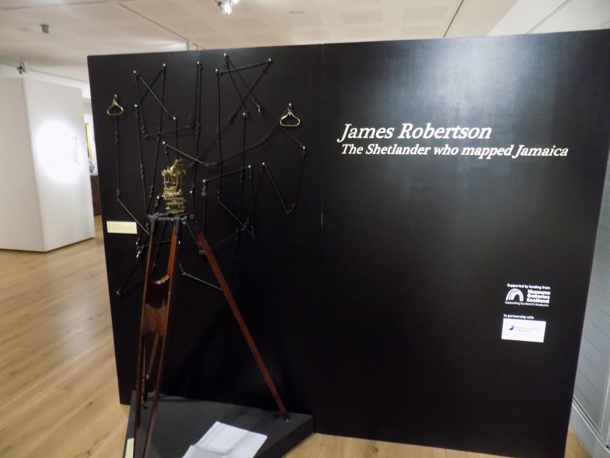
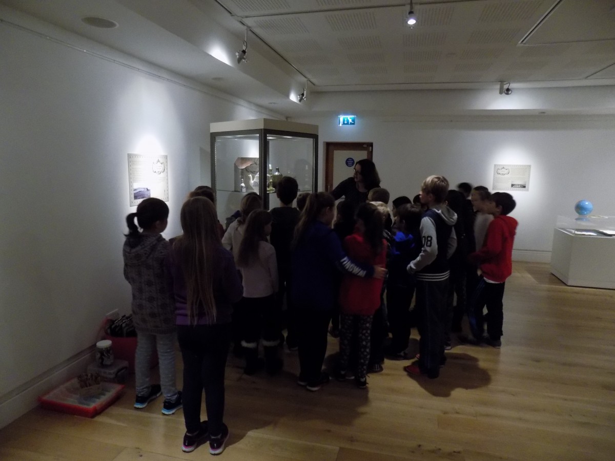
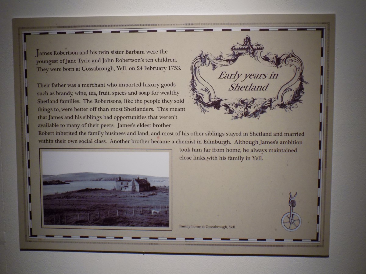
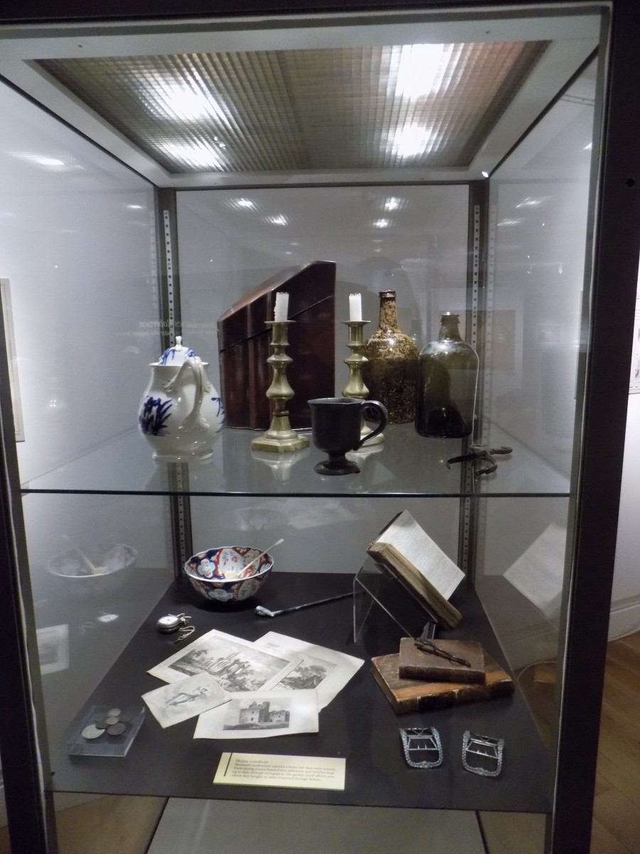
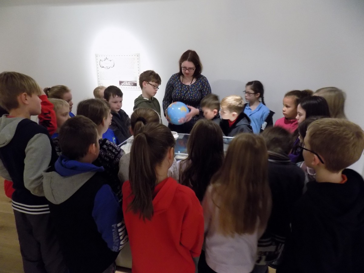
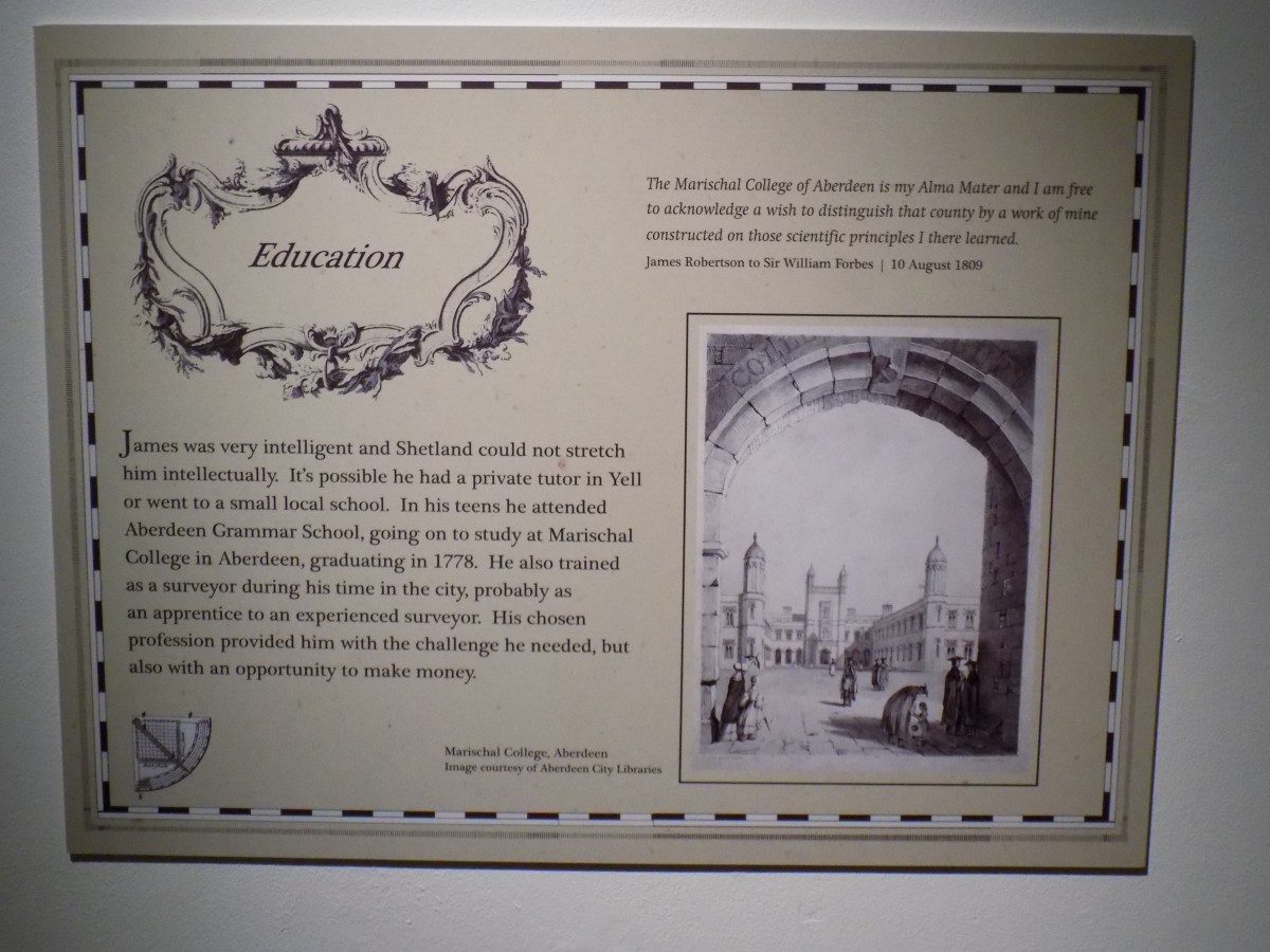
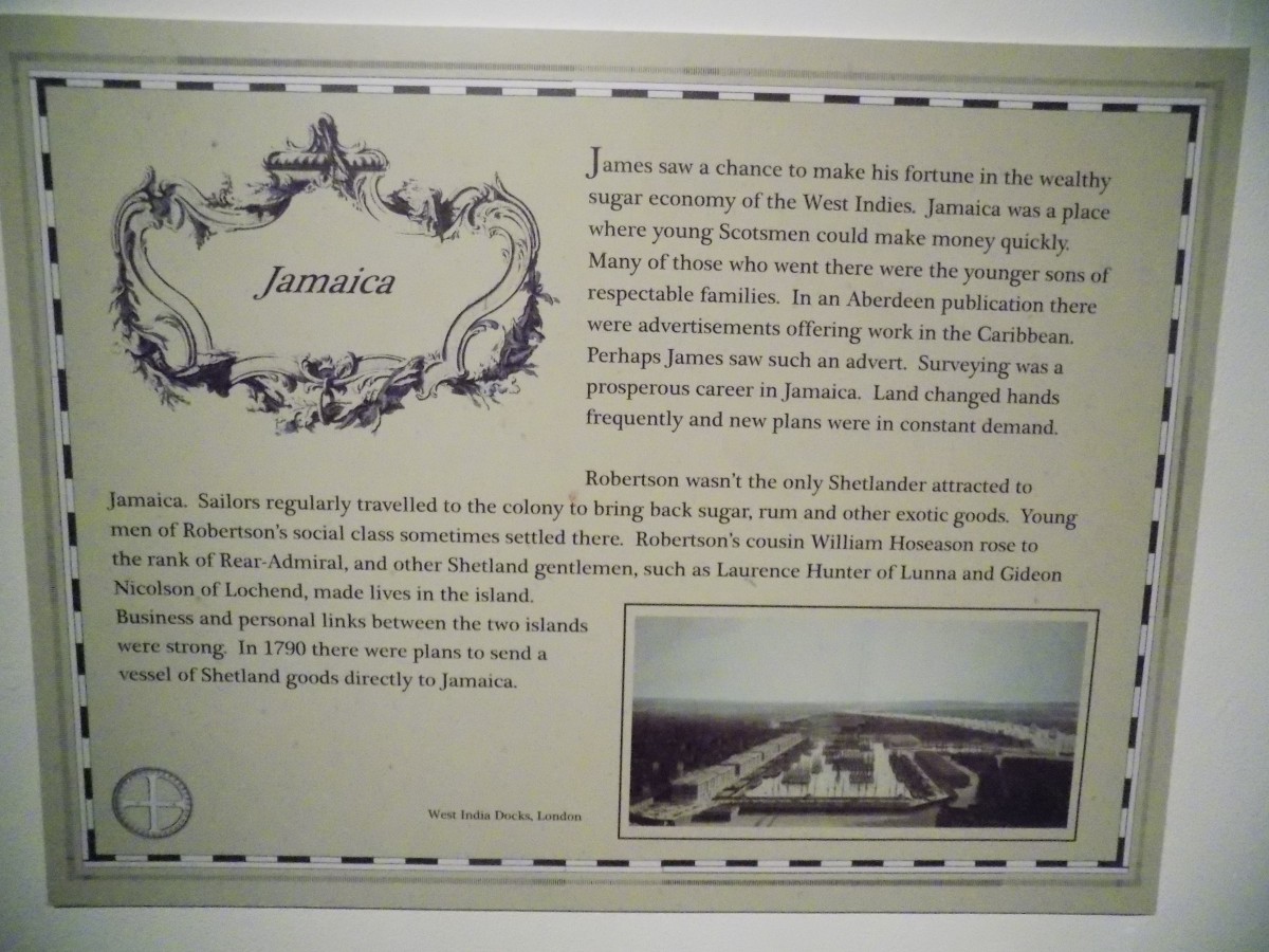
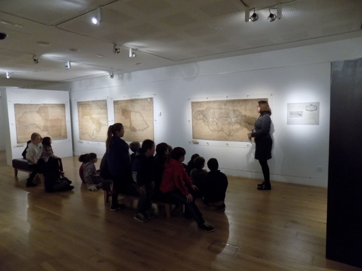
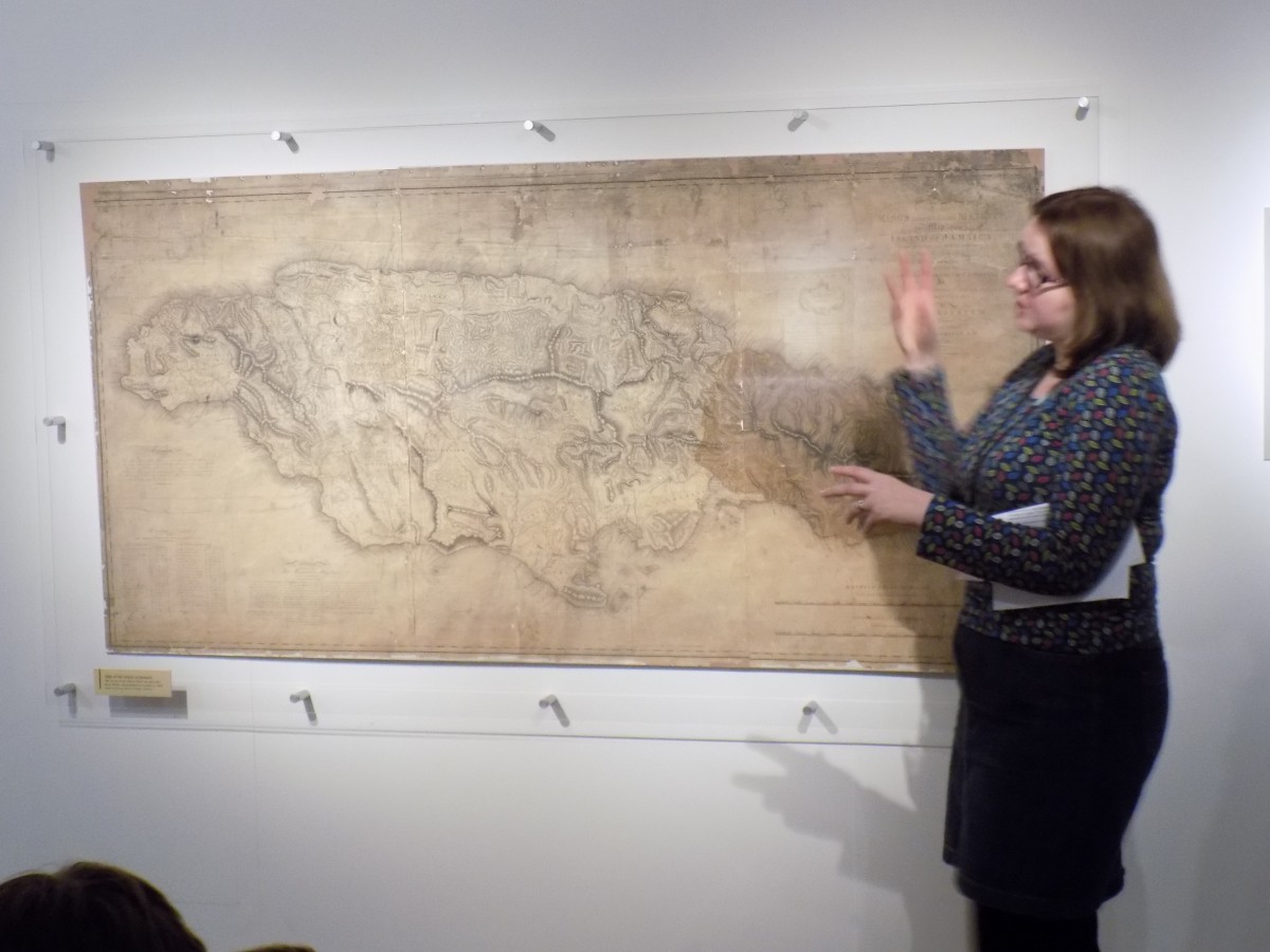
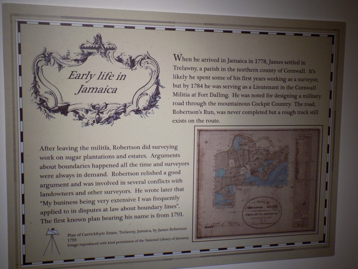
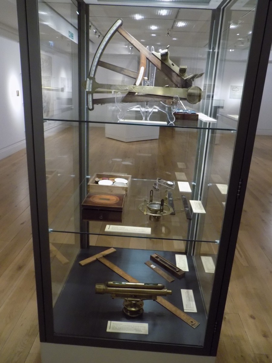
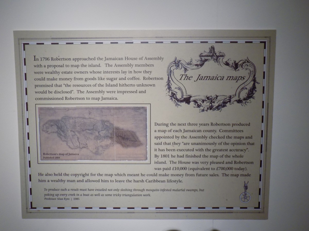
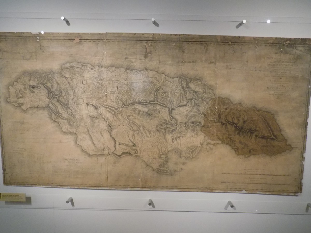
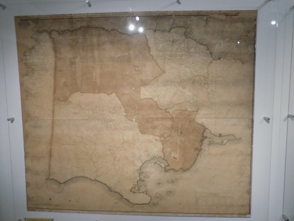
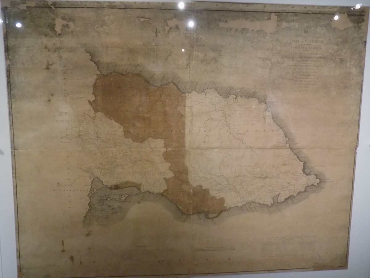
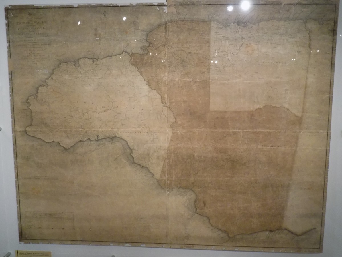
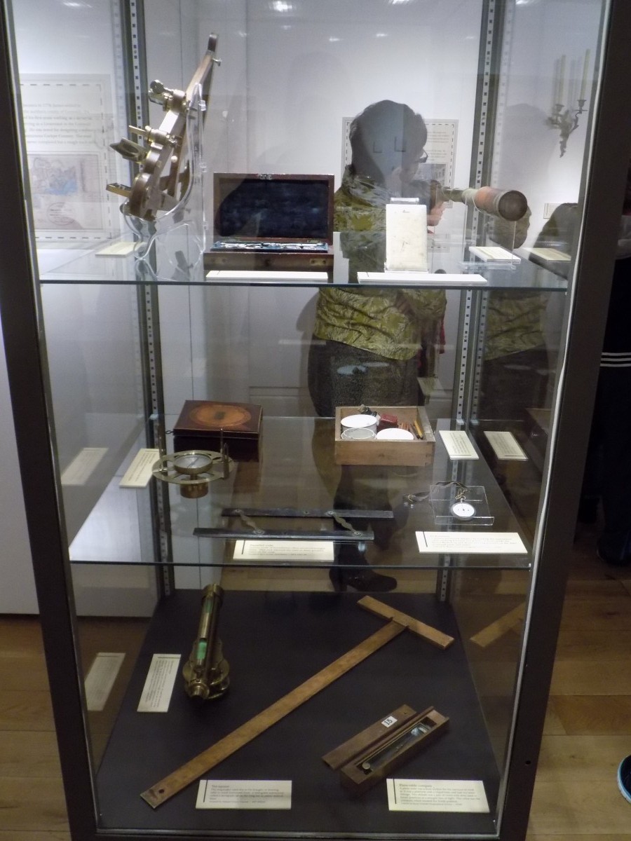
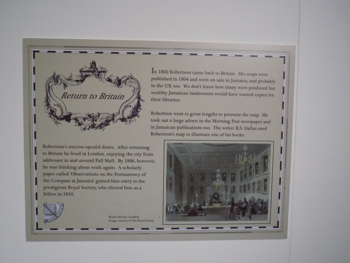
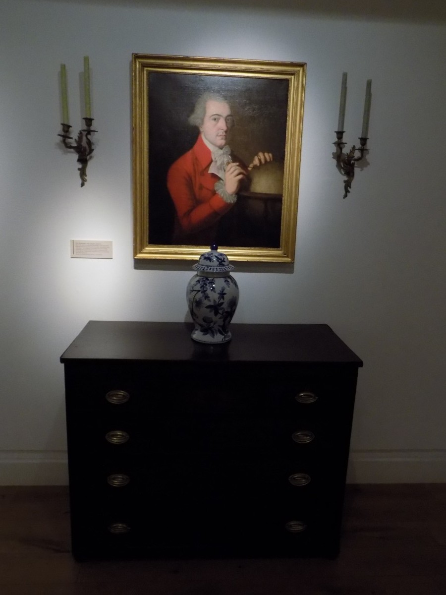
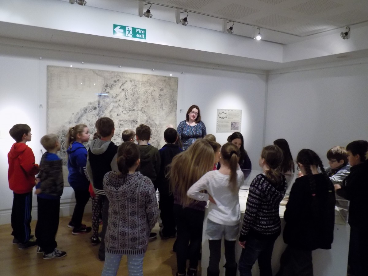
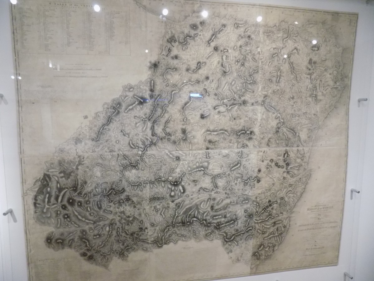
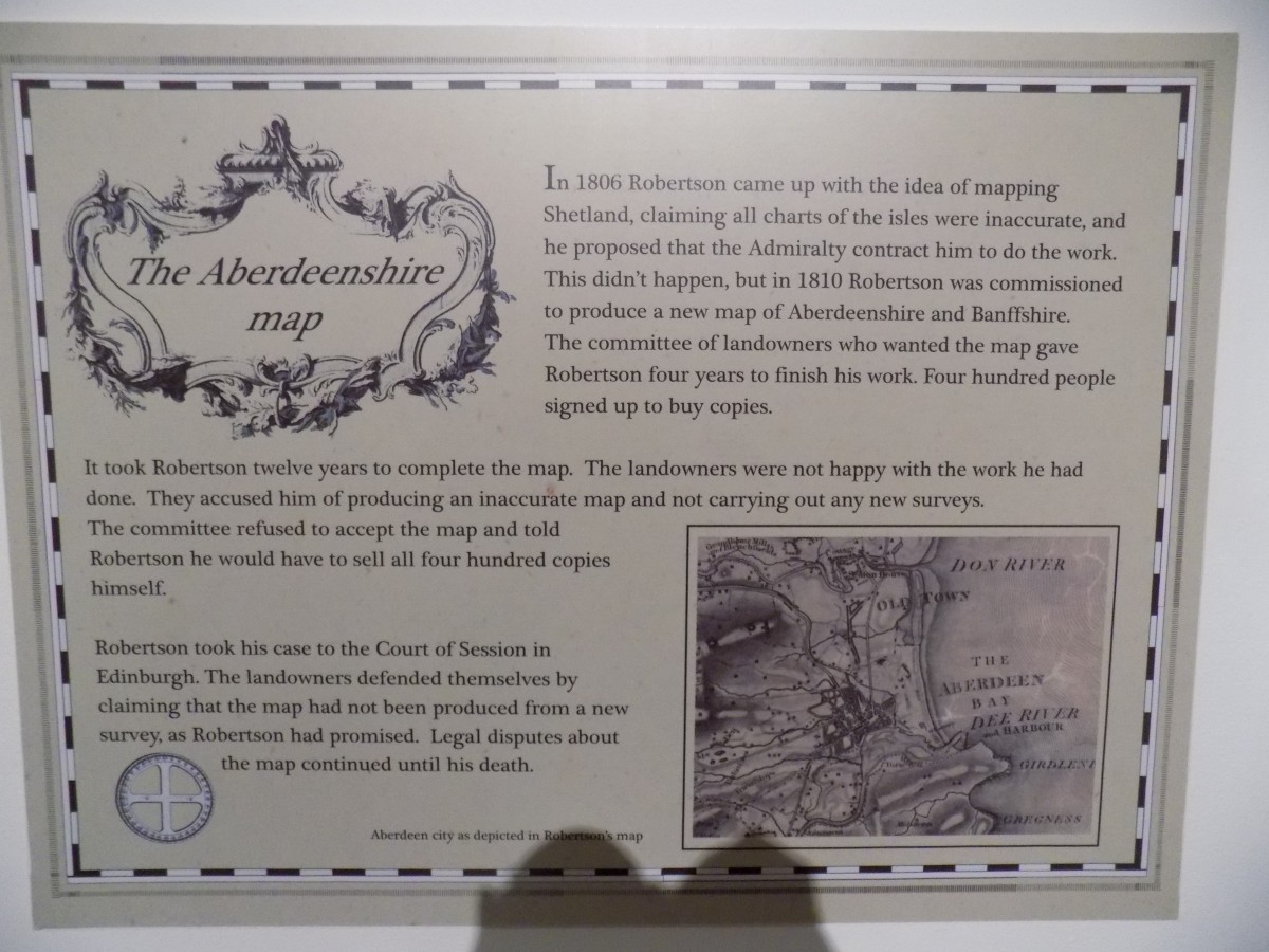
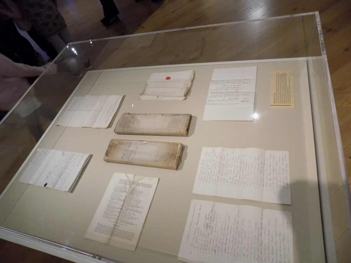
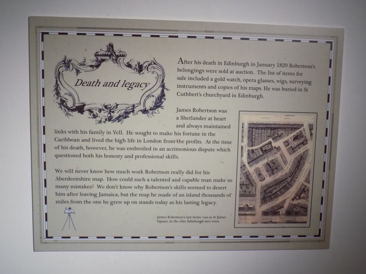
Today we went to the Shetland museum to look at the exhibition on James Robertson. He is the Shetlander who put Jamaica on the map. He was the youngest boy of 10 children. He lived in a croft house in Gossabrough, Yell. His family weren’t rich but they weren’t poor. He was very clever. He made several maps of Jamaica and they are really good for the time they were made considering he doesn’t have the technology we have now. After he made the map of Jamaica he went to London and got a painting made of himself as well as buying lots of nice things since he was rich. He wasn’t nice to his nieces and nephews. It took him 12 years to make the map of Aberdeenshire. He went on trial because the people who asked for the map of Aberdeenshire told him his map was wrong but he had worked on it for 12 years so it would have been right at the time he started. He only had 3 years to make it so they thought they shouldn’t have to pay him, he thought he should be paid for all his work. So they took it to court. He died before his trial so we don’t know who would have won. He died aged 74.