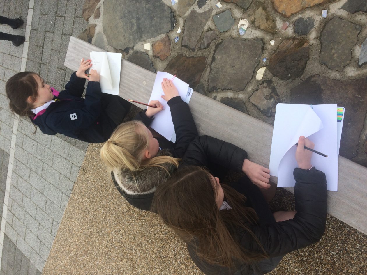
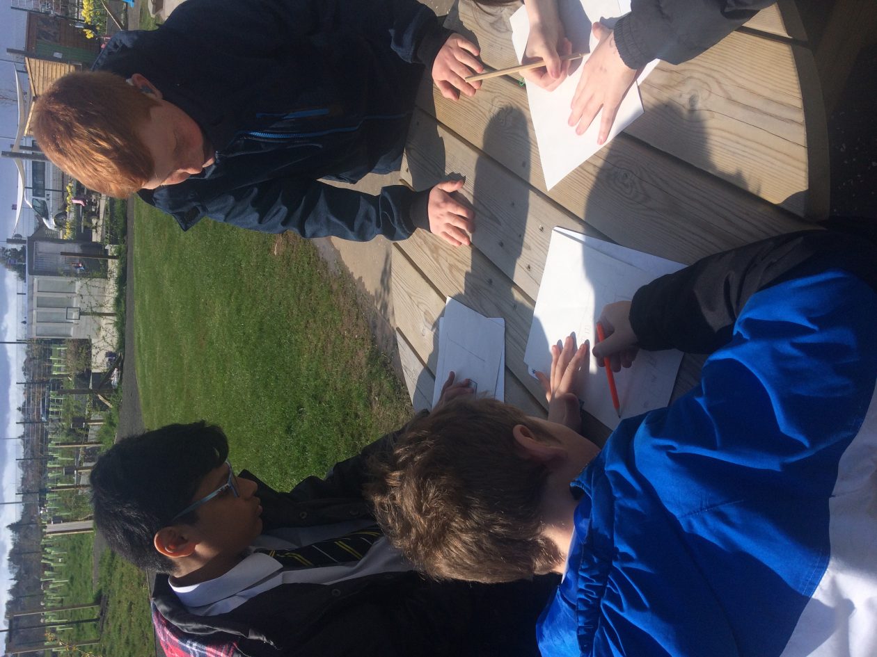
This week, we have been working with the primary 6’s from St Clare’s to begin our new Social Studies topic which will focus on the natural and social geography of our new school and surrounding area.
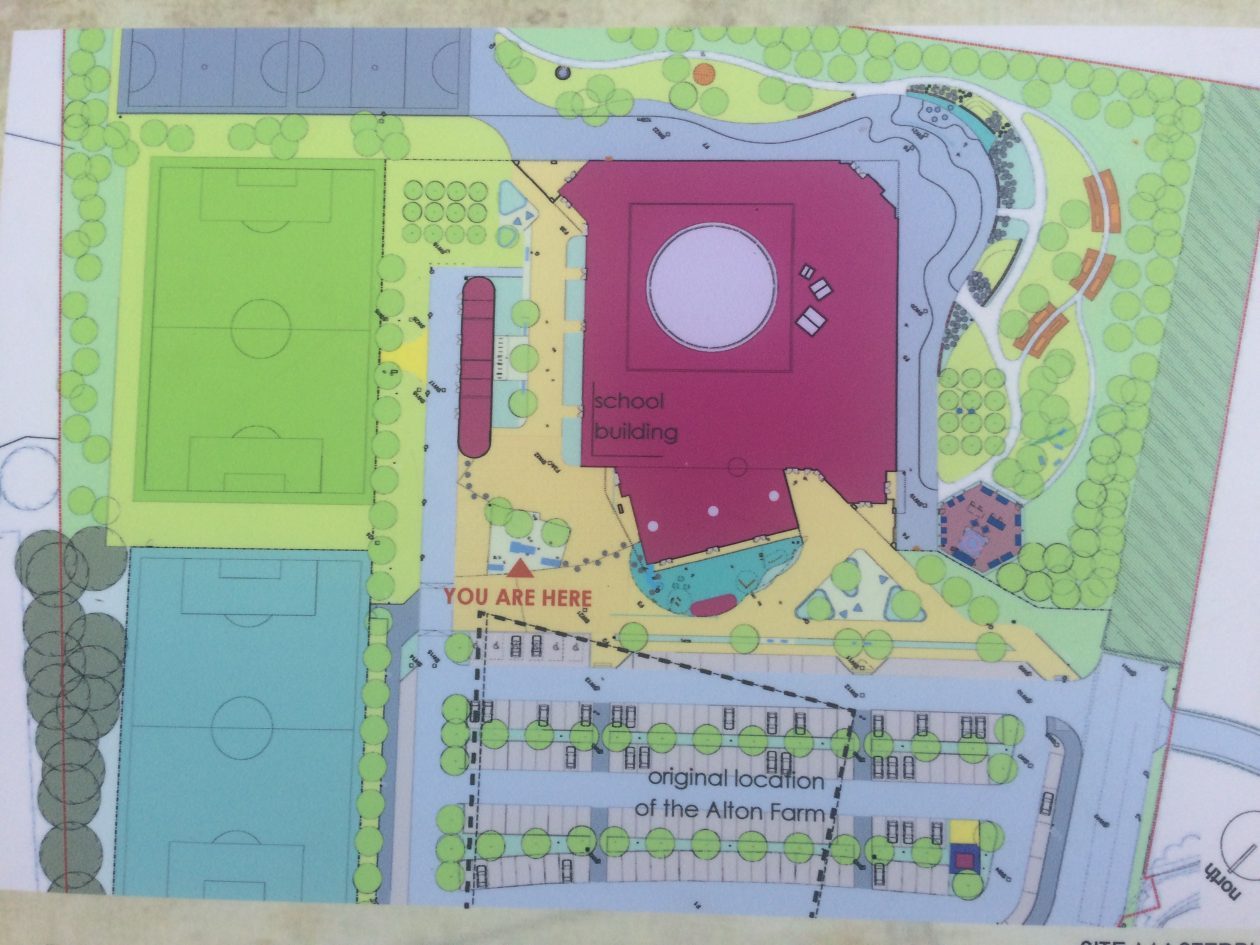
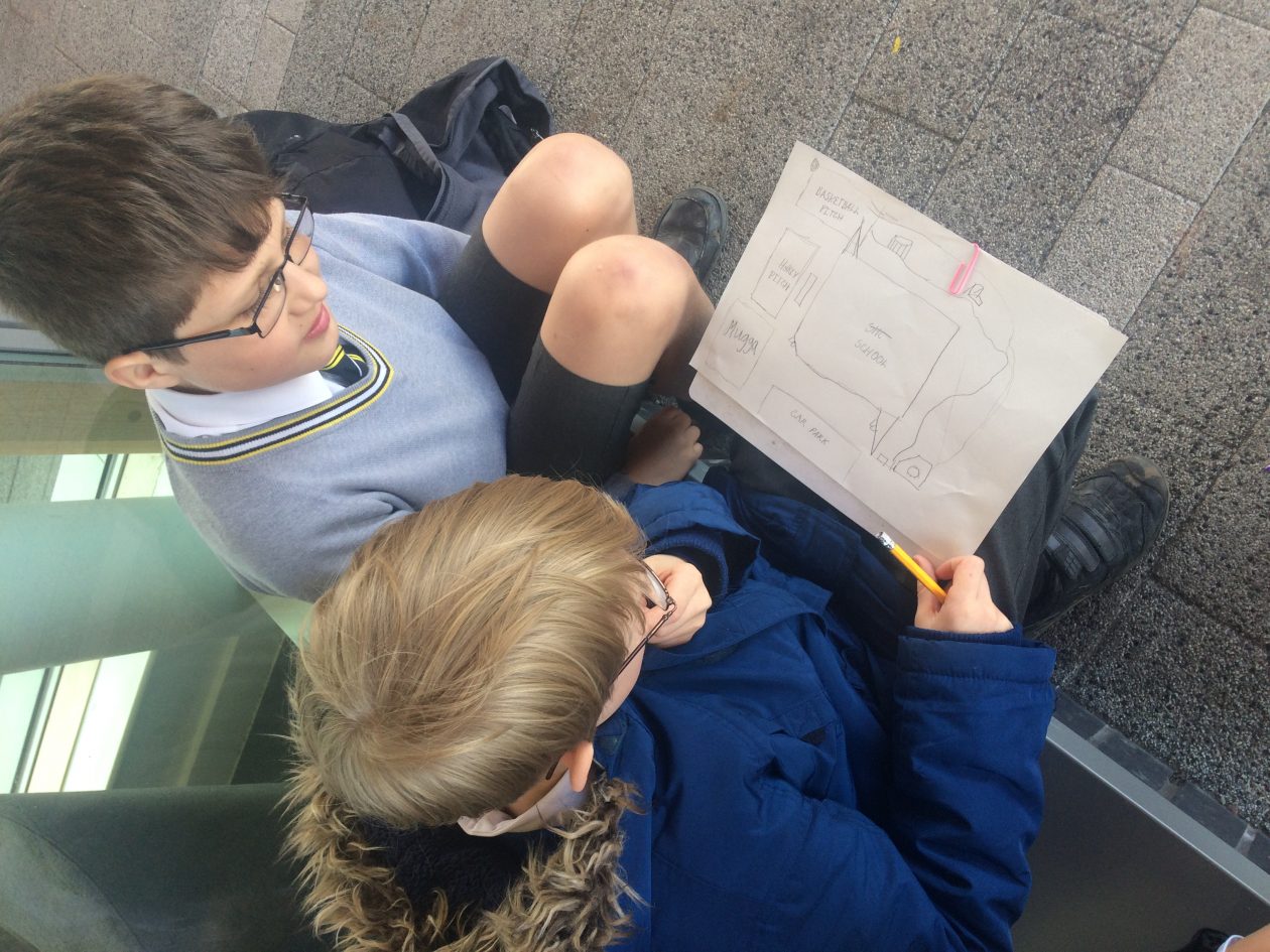
We began by investigating the outside of our school, sketching the building from a bird’s eye view. This will develop our sense of place and also help us to create a final aerial view map, like the one below.
We will continue to develop our mapping and geography skills throughout this term by studying ordinance survey maps of the local area and rest of Scotland.