Primary 3 Maps and Signs

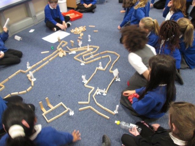
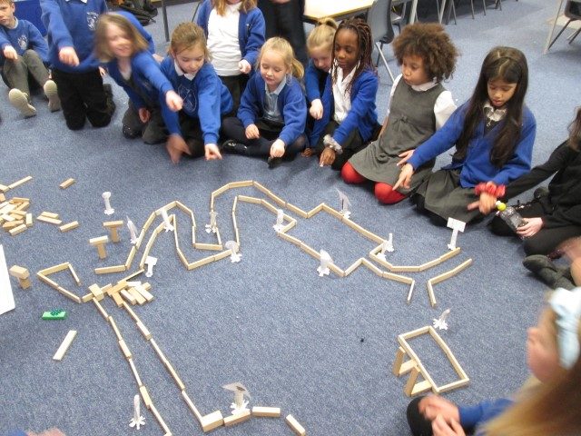
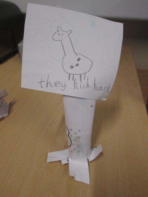
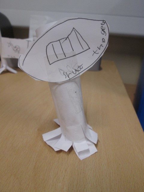
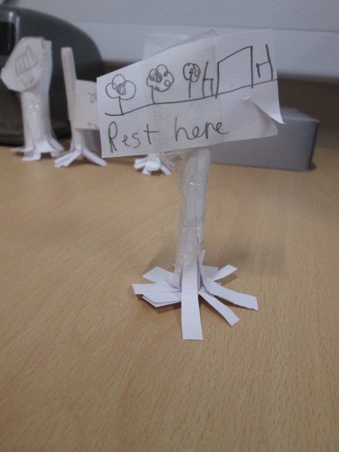
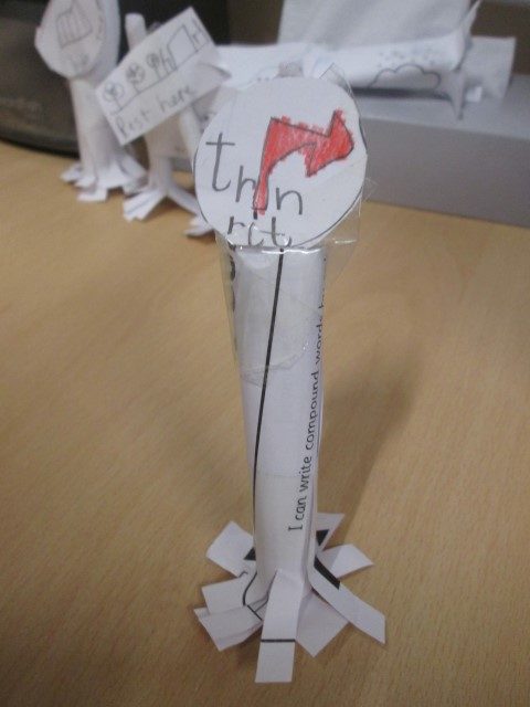
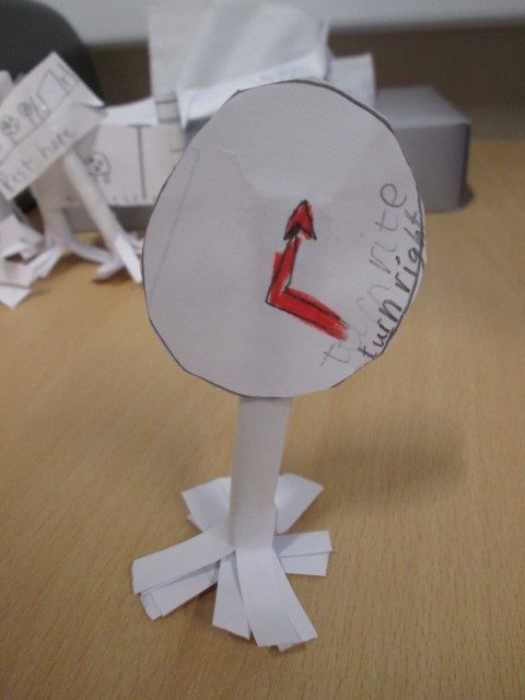
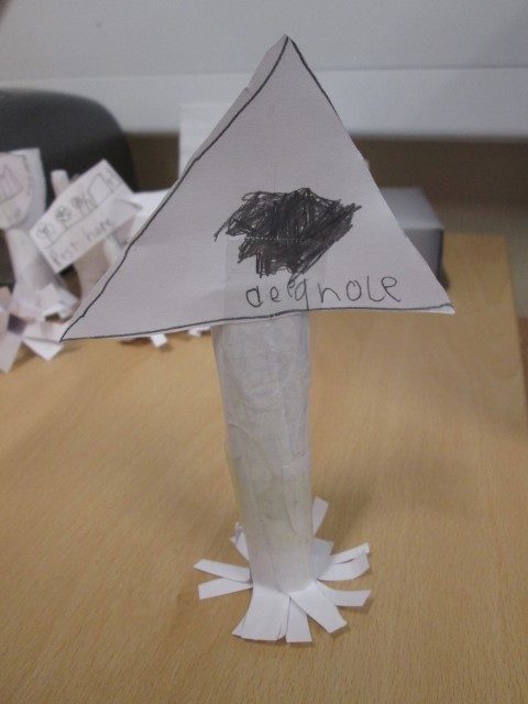
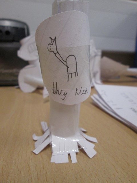
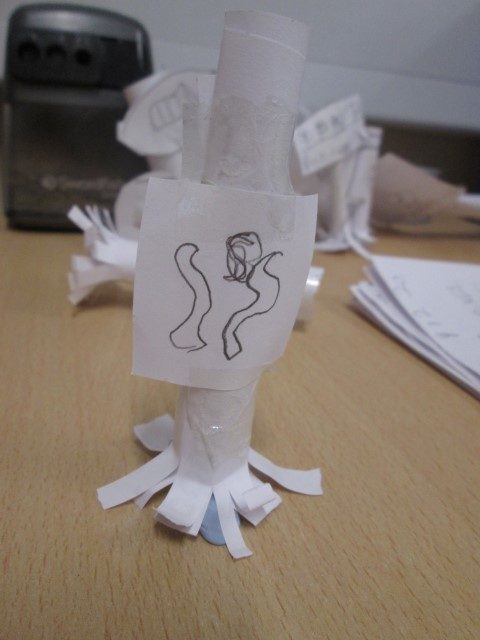
Last week Primary 3 created a large map of Lapland and then looked at how they could create 3d signs to place in appropriate positions around the area.  The challenge was to see how they could get the paper strong enough to stand and to use the correct 2d shape for the sign for a command, warning etc.

Leave a Reply

Your email address will not be published. Required fields are marked *

Report a Glow concern
Cookie policy  Privacy policy

Glow Blogs uses cookies to enhance your experience on our service. By using this service or closing this message you consent to our use of those cookies. Please read our Cookie Policy.