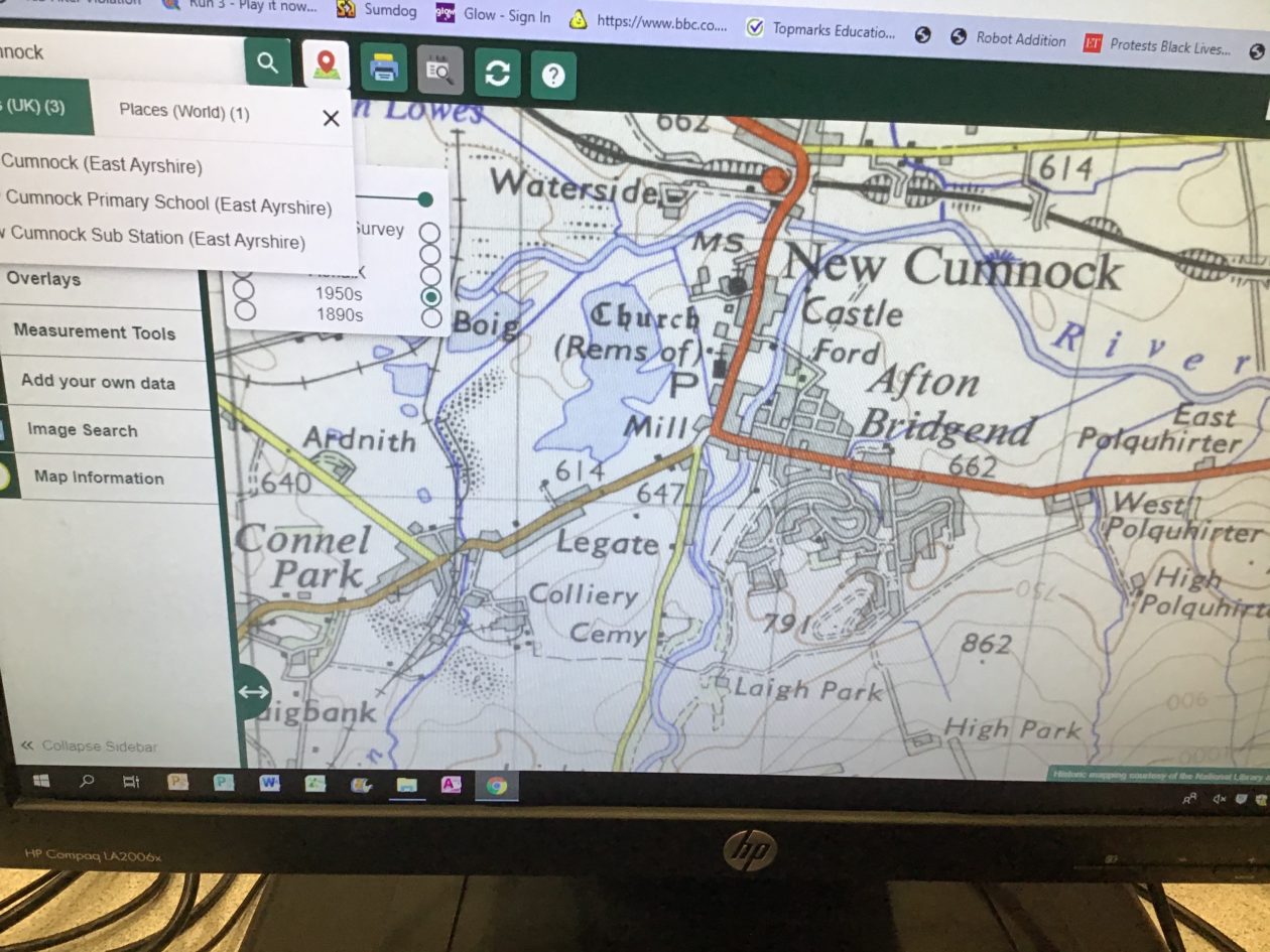
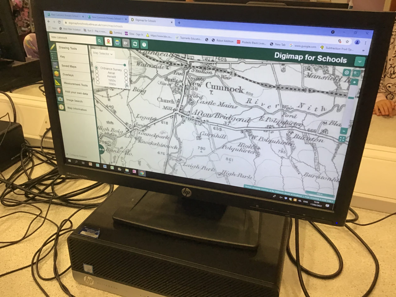
We were looking at maps today using the Digimaps for schools website. We had a look at maps of New Cumnock today, in the 1950s and in the 1890s. We were able to see what used to be on the site of the pool. We were able to zoom in and out to get a closer look at the areas we were focusing on.
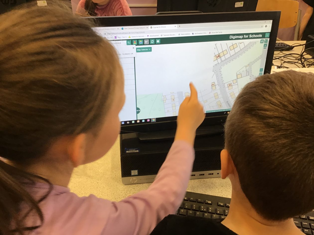

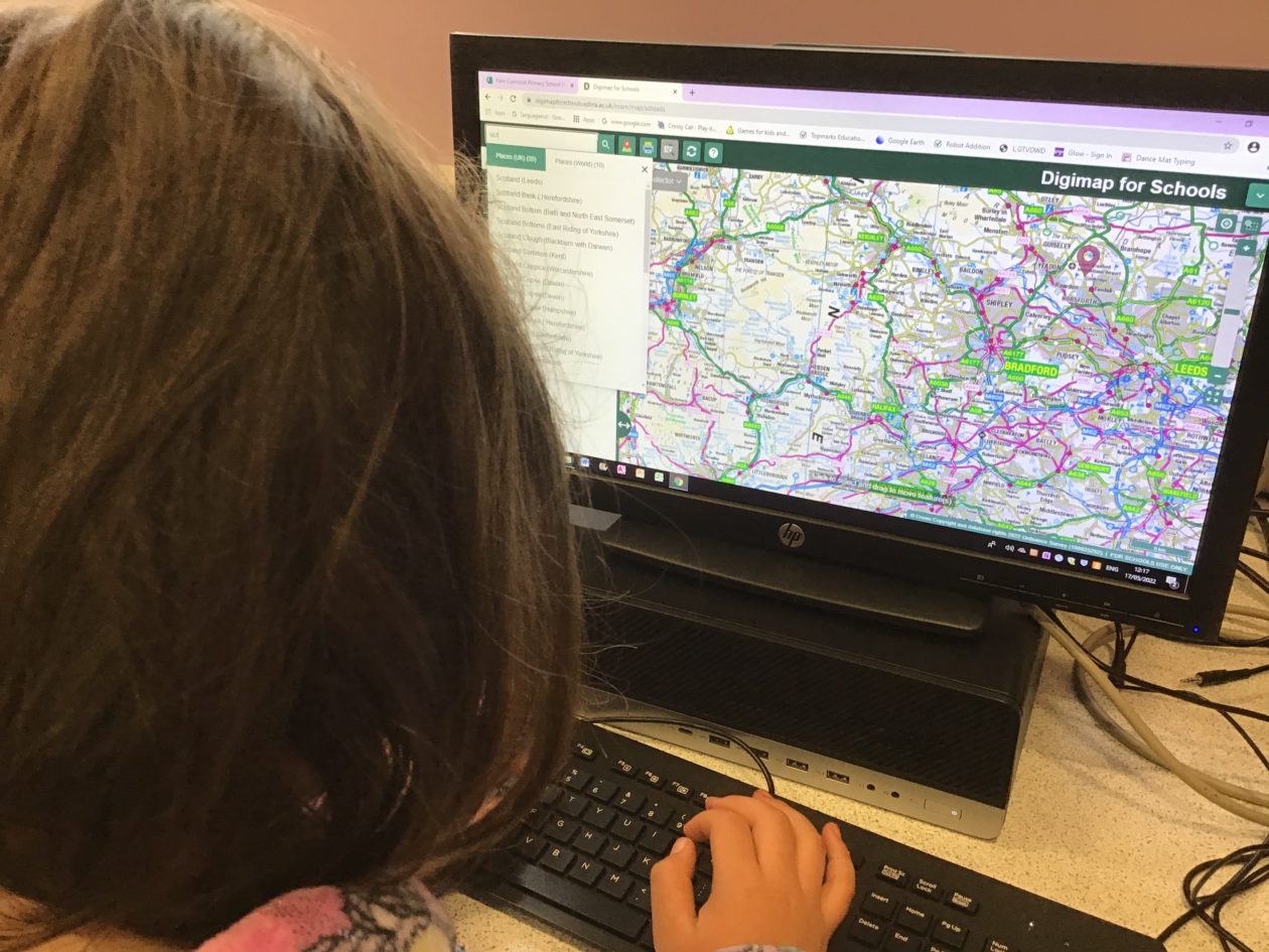
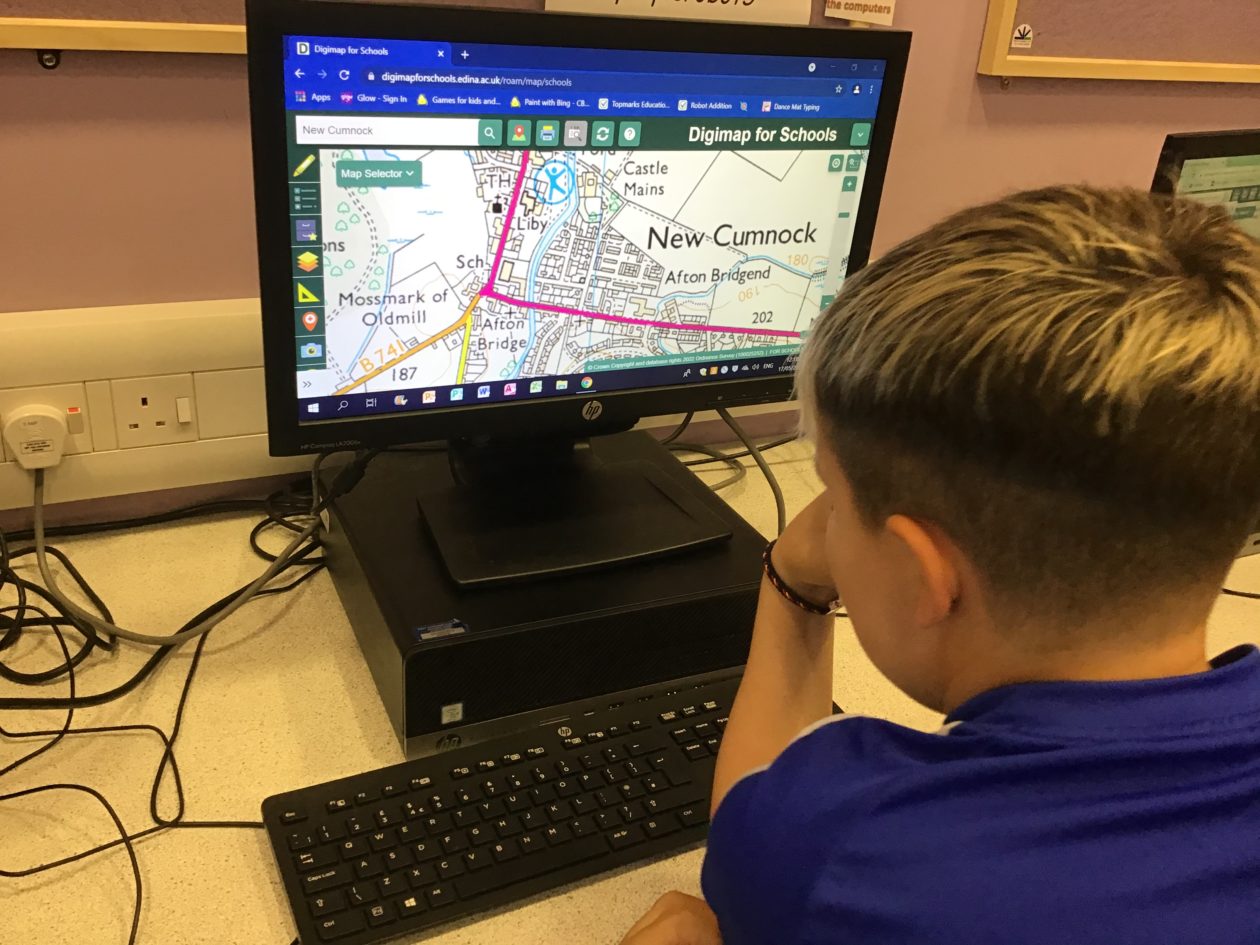
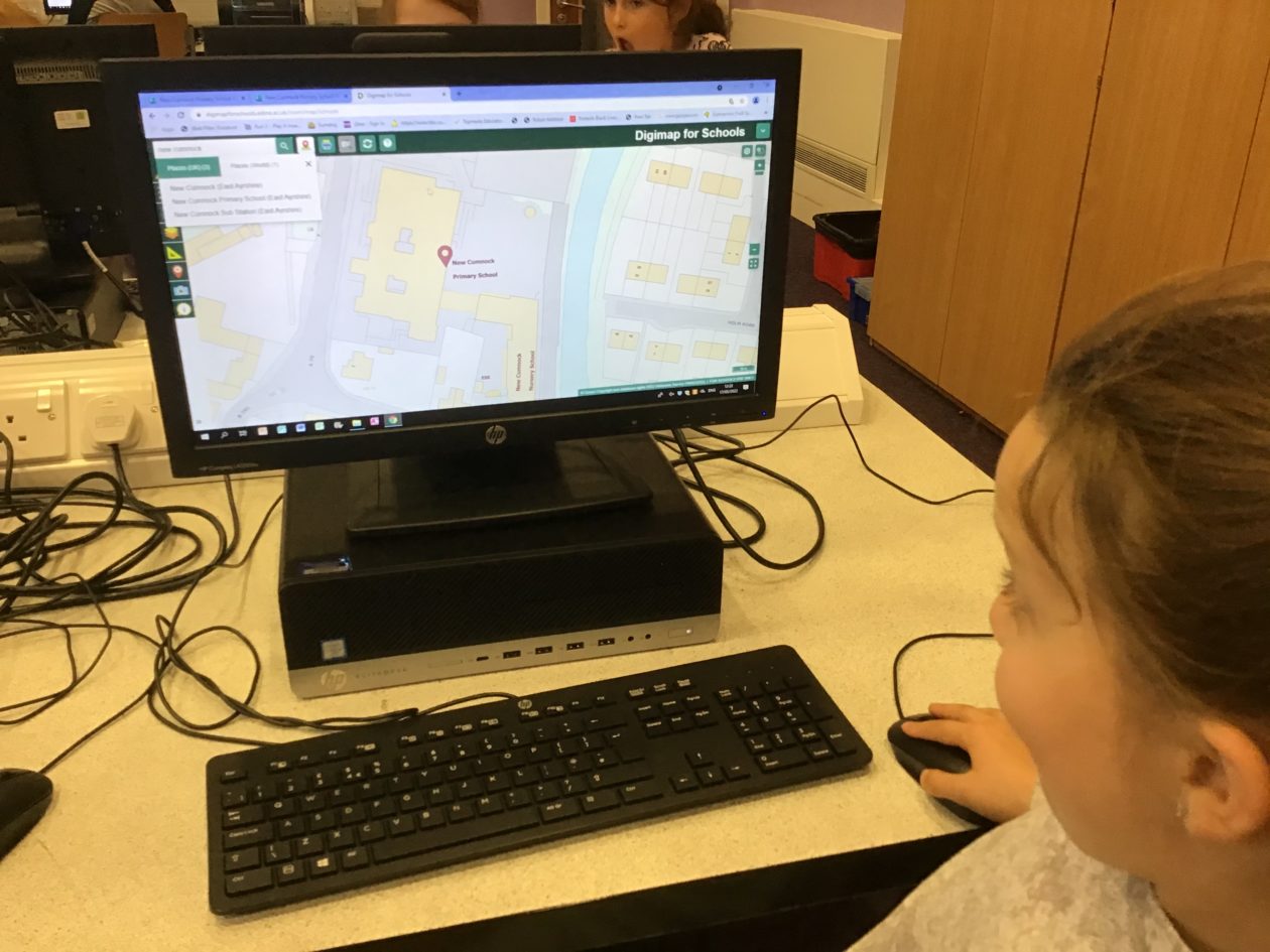
We really enjoyed looking at the maps and some of the children took the username and password home to explore the maps further.