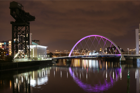
Today we will be working on our second task for our River Clyde topic. By now each group should have researched a number of well known landmarks found on the River Clyde including where these landmarks are located. You are now going to use this information plus the links below to complete your maps.
As always you have a task sheet to guide you. Please follow the directions on your task sheet closely to ensure you cover all of the areas required.
The details of the learning outcomes and skills we are focusing on today can be found on your task sheet as well as your success criteria..
Only the links below should be used during this task.


I was searching Clyde maps and stumbled on your post. I’ve not seen the River drawn as far seaward as Gourock before. Just had a look at other educational info online. None seem to show the key differences of the Clyde. The most interesting part for me is the ‘river’ ends where the water stops flowing in one direction, this happens at the tidal weir at Glasgow Green, although still marked as ‘river’ until Greenock it’s actually an estuary (inner Clyde estuary) until Greenock where the mouth of the river meets the deeper coastal waters of the Firth if Clyde. This is an interesting article by the editor of Estuarine, Clyde marked at the end. ahttps://www.heraldscotland.com/news/12490387.the-difference-between-river-estuary-and-firth/