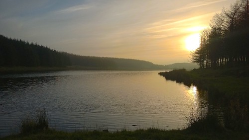
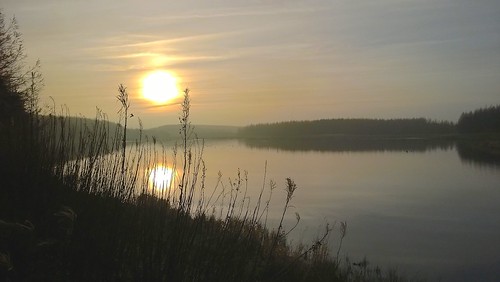
We’ve only lived in Neilston for just over a year and one of the reasons that we moved there was the fact that’s on the edge of some very nice countryside with a wealth of walking opportunities nearby. So, it was an early Autumn Sunday and dry for once so we took a wander south through the town and then west along Kingston Road for a bit of an explore.
It wasn’t long before we spotted Craighall Dam through a break in the trees on the left on the western slopes of Neilston Pad, the highest point in the area and reputedly the remnants of an extinct volcano, so off-road we went. It was a wee bit squelchy underfoot but that soon cleared onto a reasonably decent path circumnavigating the reservoir. I recorded the walk using the Endomondo mobile app so that’s available here and comes with a location map and lots of walking statistics like distance, duration, speed, altitude, ascent, etc.
Going by the number of damp dogs and their owners that we encountered, it’s a popular spot with dog walkers and there’s a reasonable number of parking spots nearby if it’s too far to walk to. If you’re interested in birdwatching, then there’s a fair number of wildfowl on the water – there was a family of mute swans, some mallards and I think I spotted a little moorhen as well but the light wasn’t great.
Sadly, I only had my mobile phone camera with me but I managed to get a few decent shots (all viewable on my Flickr photostream).
There’s not a lot to say about Craighall Dam itself. It’s one of many little reservoirs dotted around the area and the only feature on it worth mentioning is the ruin of an old boathouse and jetty, which is listed on the RCAHMS Canmore archaeological site.
Definitely somewhere to go back to. It’s an easy stroll and there are other dams nearby worth checking out.


