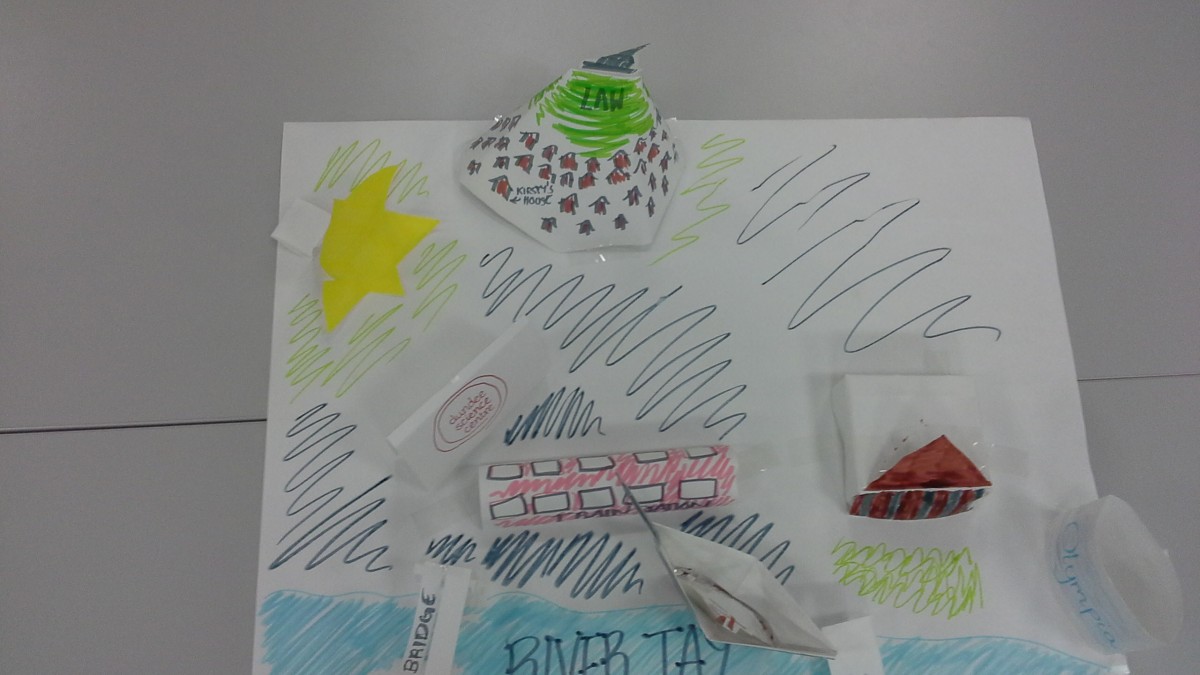
This is an image of a map of Dundee that was made as the tutor directed task for Maths in the outdoors. It contains some of the most notable features of Dundee such as the Law Hill, Olympia swimming pool, the train station and the Discovery museum. However, this map is not accurate in scale. The models in this map are not the correct distance apart to show where the landmarks are in relation to the city.
If I were to do a lesson on maps in the classroom I would look at scale and ratio to make the maps more accurate. I would also teach the children how to read a map by having examples of real maps. I would have the children create a map of the playground. After this I would pair them up and give each pair a small ball. One person in each pair would hide the ball and the other person will have to find the ball using the map. After the ball has been found the children will then swap over so that both have the chance to hide the ball and practice reading a map.