Tag Archives: British Isles

British Isles

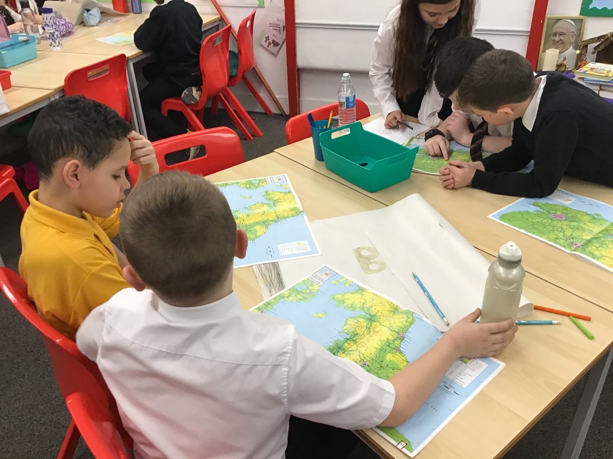
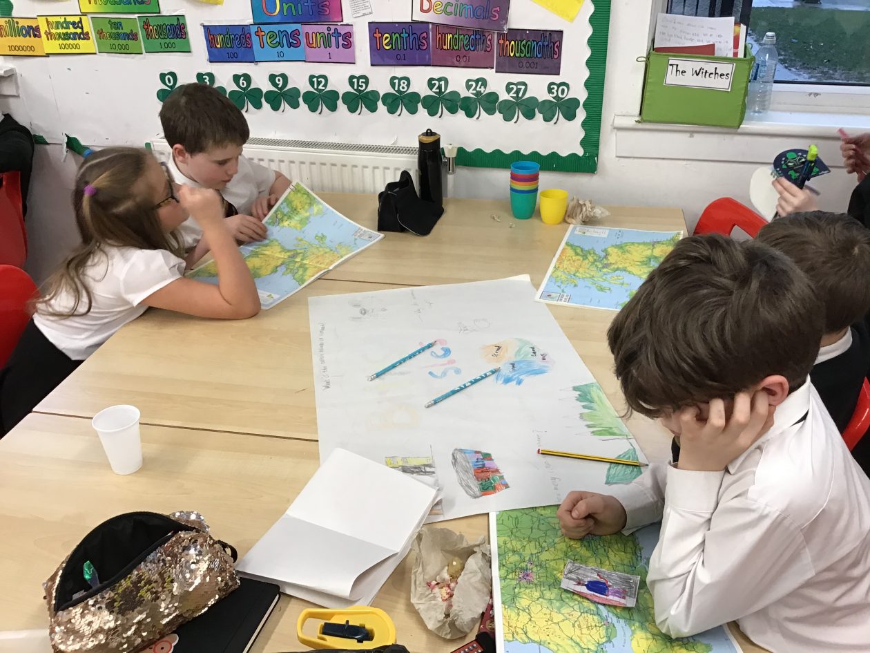
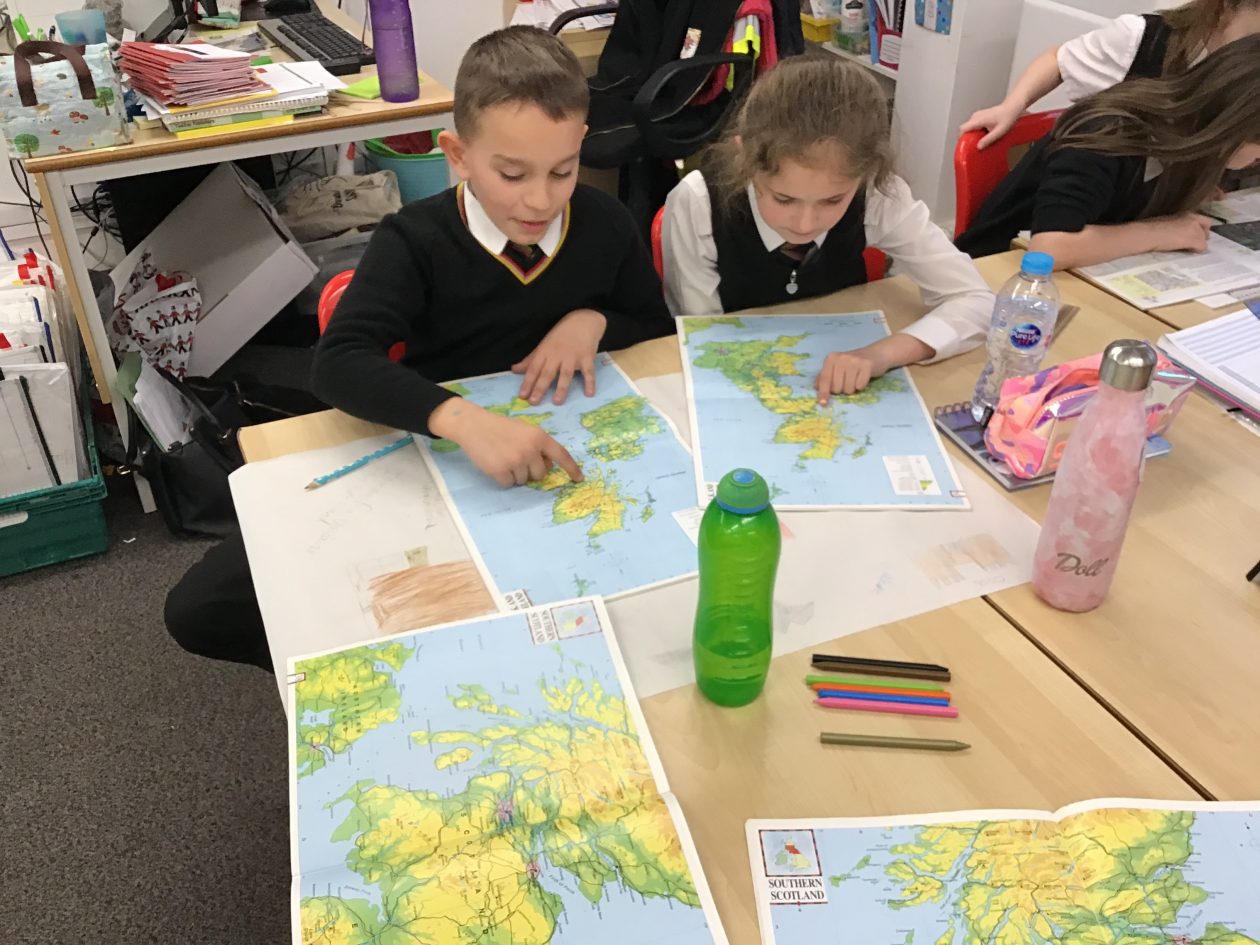
As part of our British Isles topic, we have started to explore the different landscapes. Pupils were tasked with identifying man made and natural features.

We then discussed their decisions using ABC for talk, to agree, build upon and challenge their ideas.  The most interesting discussions were around farms, forests and the Giant’s Causeway. 

Following this pupils were asked to identify Scotland on the map. There were several ideas. We will be continuing to use atlases and maps over the next few weeks to explore the habitats and environments.


British Isles: Mapping

We have started our new topic this week. Our topic is the British Isles, we will be finding out about the landscapes around the British Isles and how these were formed and how they are used now.

Pupils have created questions about the British Isles which we will explore over the term. These questions included

Are there volcanoes in the British Isles?

What the tallest mountain?

Do sharks live in the British Isles?

Mapping Skills

Our first task was to identify countries, borders, seas and oceans using atlases.