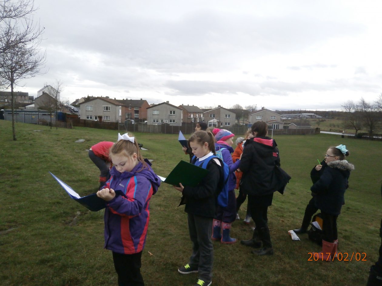
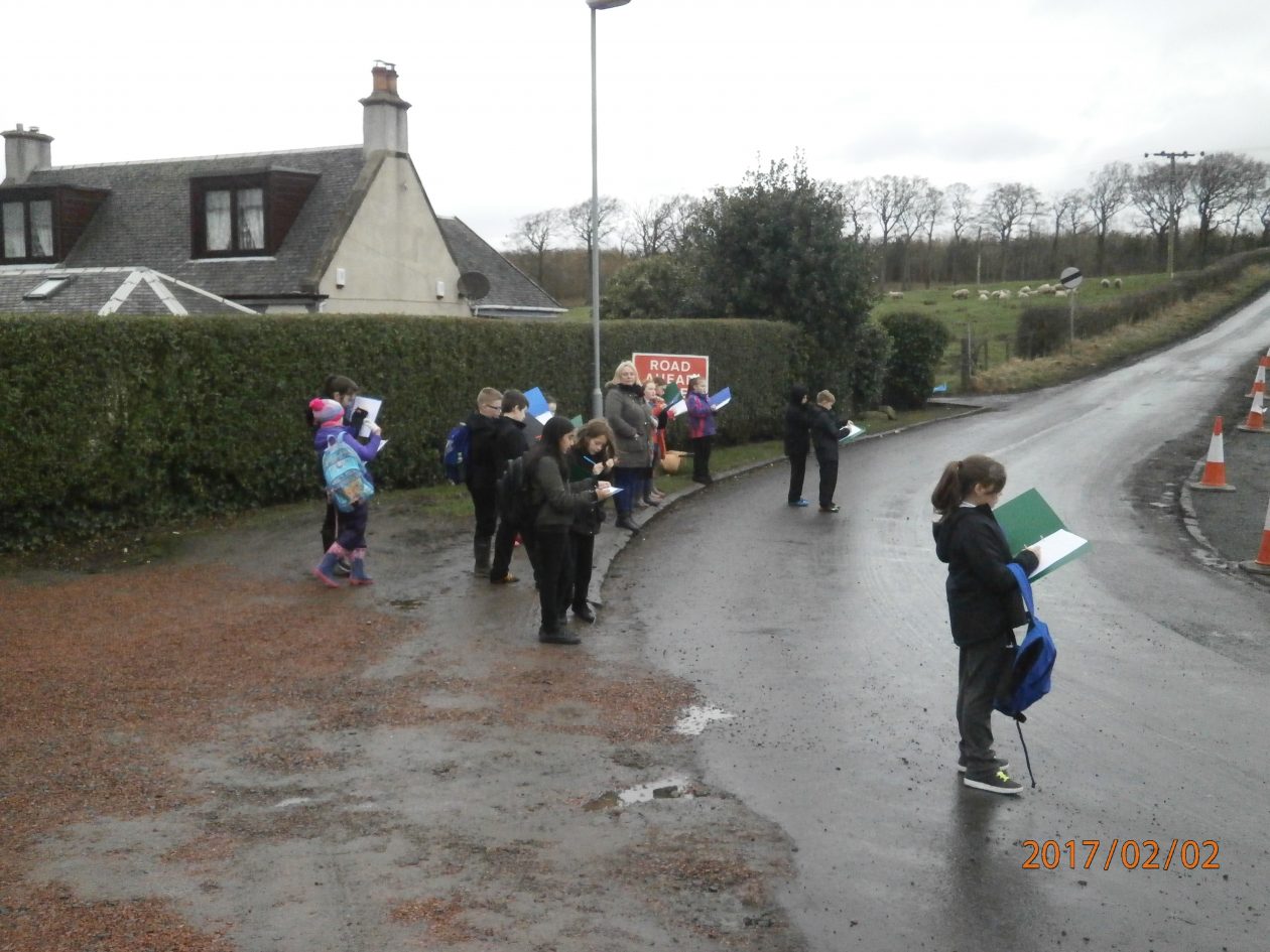
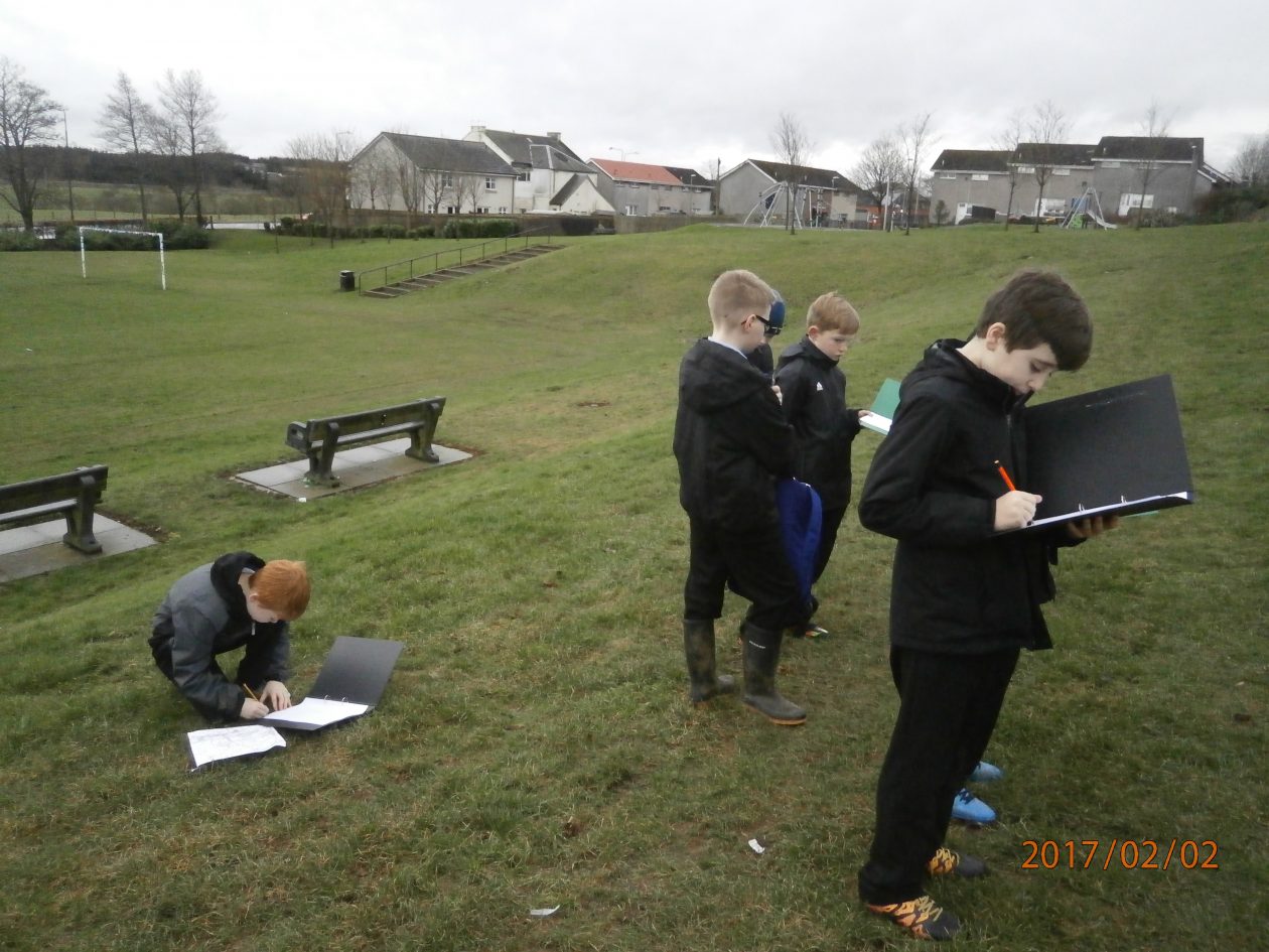
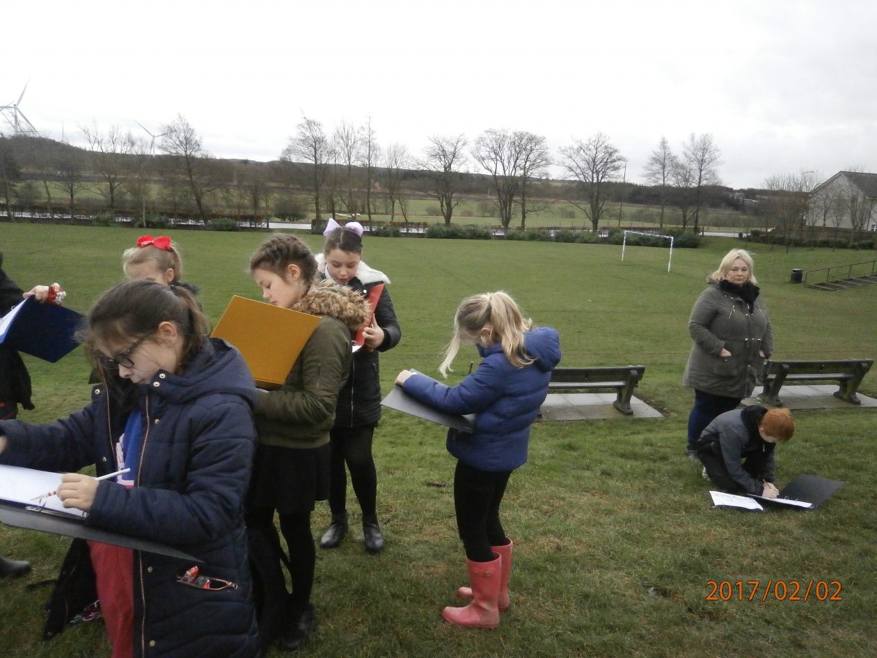
 Primary 6 went around Blackridge to investigate the physical landscape of the area. We used maps to find out where we were, to read grid references and to look at the contour lines. Contour lines show you how steep a hill is and we compared the maps with the landscape. We saw the quarry and Westrigg park. We went to Westcraigs hill and looked at it from different angles. We saw the old water filter station on the hill. We went to the burn and talked about how erosion and deposition change the shape of rivers. We found a strange We tried to go to the museum but it was closed, we’ll have to go another day. We took photos and drew sketches of the landscape. Miss Reid let the class lead the way even though she didn’t always trust where we were going! Miss Reid was very proud of the behaviour of the class when they were representing the school in the community.

Cookie policy
Privacy policy
Glow Blogs uses cookies to enhance your experience on our service. By using this service or closing this message you consent to our use of those cookies. Please read our Cookie Policy.