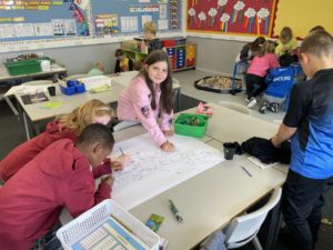
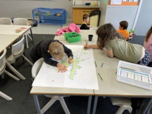
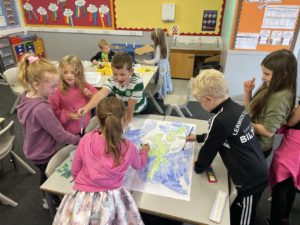
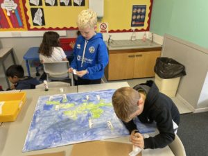
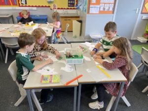
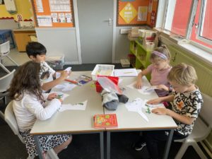
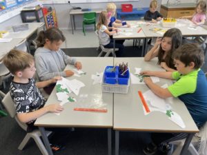
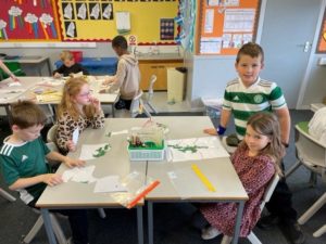
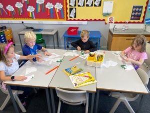
This term we have been learning about Shetland with a focus on mapping and land use. We looked at the map of Shetland and enjoyed painting our own map of Shetland to help us see where all the islands are situated. To help us identify the shape of Shetland, we completed Shetland jigsaws, which were really quite tricky! We used a map of the school when we went for a walk around the school and even made a map of the classroom.
We used the tablets during our ICT time to research facts about some of the islands around Shetland and worked in pairs to complete fact files.
During maths time, we completed work on grid references and we all enjoyed making grid reference pictures; this was one of our favourite activities.
We had great discussions on land use around Shetland and we compiled lists of land use in and around Lerwick with everyone keen to contribute with their favourite shop or play park!
To end the topic everyone presented an individual talk on ‘My favourite Place in Shetland’. We started by writing a story about our favourite places in Shetland then used this to make notes for our talks. With a range of presenting styles including the use of PowerPoint, posters, photographs, drawing and notes we all enjoyed finding out about different places in Shetland.
Everyone has enjoyed this topic and made such good progress with map skills as well as improving their presenting skills. Well done everyone!
