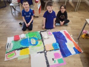
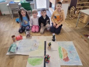
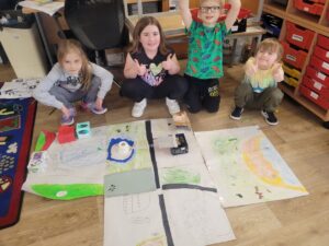
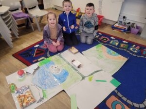
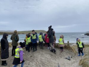
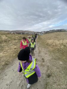
We have been making maps in class. We went to visit the Clickimin Broch before we made our own Lerwick maps. We then added in Tesco and Sound Service Station. The following week we looked on Google maps at where the Anderson High School is located and looked at the buildings at the Clickimin. It was quite tricky but the pupils added these areas on to their maps, some even added on the running track. Our last lesson on maps involved adding Sands of Sound so we decided to go for a walk first, to see with our own eyes, the size and shape and location of the beach. We walked along from the school to the stoney beach then over the fields to the Sands of Sound. We discussed the bays and Ness of Sound and pointed out the Grottie Buckie and Dinghy Beach.
We discussed the benefits of going outdoors to look at the area and the pupils shared these answers with me:
- We could see the actual shape of the beach and where everything is.
- We could see how much water and sand there is and we could see how big and where the island is.
- We could see the waves.
- Easier to know the route to the beach once we had been there and back.
- We got fresh air.
- We enjoyed the relaxing water.
- We were exercising our bodies too, it was hard climbing the hill, we were huffing and out of breath.
- We now know where the beach is, how to get there.
- Outdoor lessons are more fun.
- We learn better when we are busy and outdoors.
- It was nice going together with the people in our class.
